Countries Drawn to the Sea Floor
These 13 are drawn already, each run to the hairline of its own waters with the area Marine Regions publishes beside it.
Open one to see it up close and order it, or draw any other country, state or island in the studio.
-
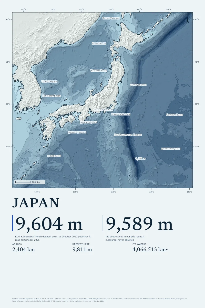
Japan
From $90
2,400 km across · 9,811 m deep
-
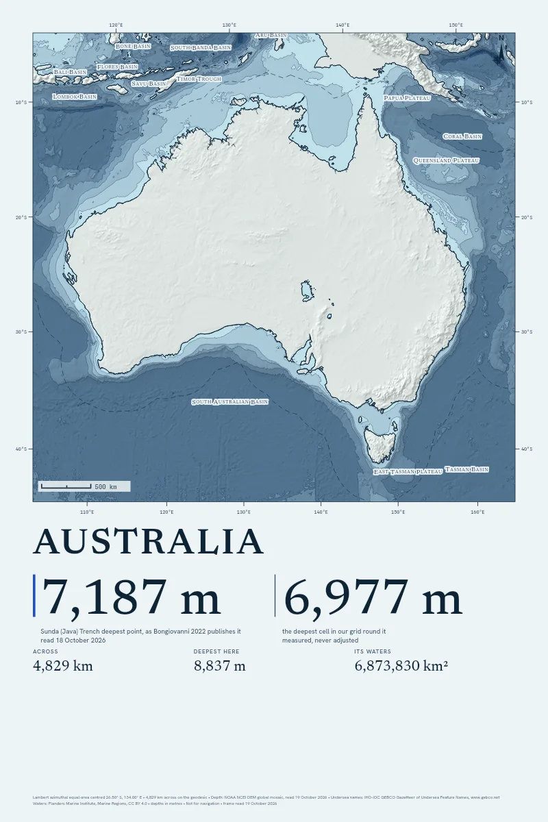
Australia
From $90
4,800 km across · 8,837 m deep
-
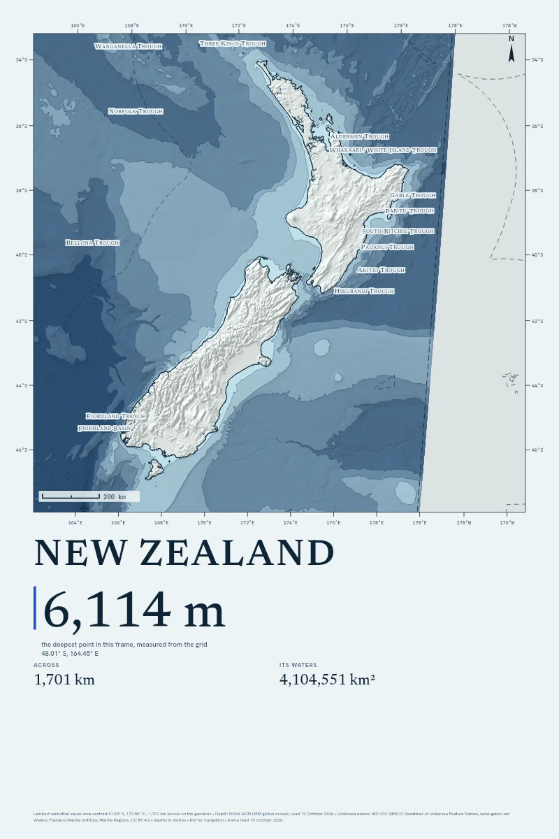
New Zealand
From $90
1,700 km across · 6,114 m deep
-
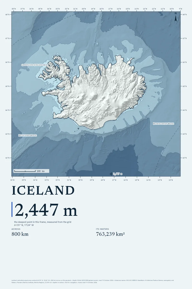
Iceland
From $90
800 km across · 2,447 m deep
-
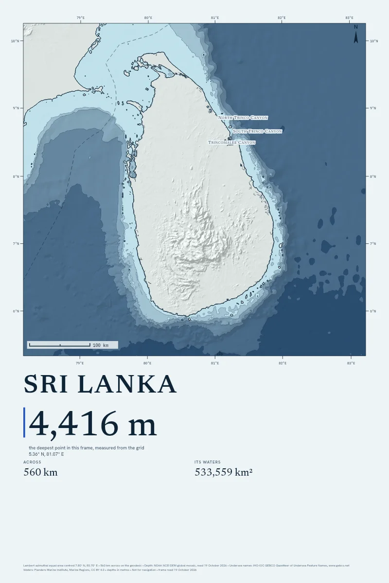
Sri Lanka
From $90
560 km across · 4,416 m deep
-
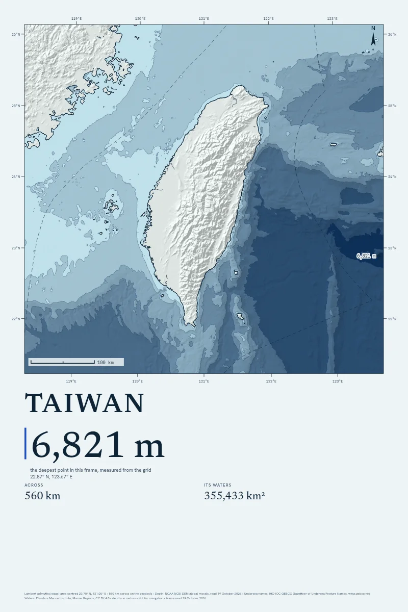
Taiwan
From $90
560 km across · 6,821 m deep
-
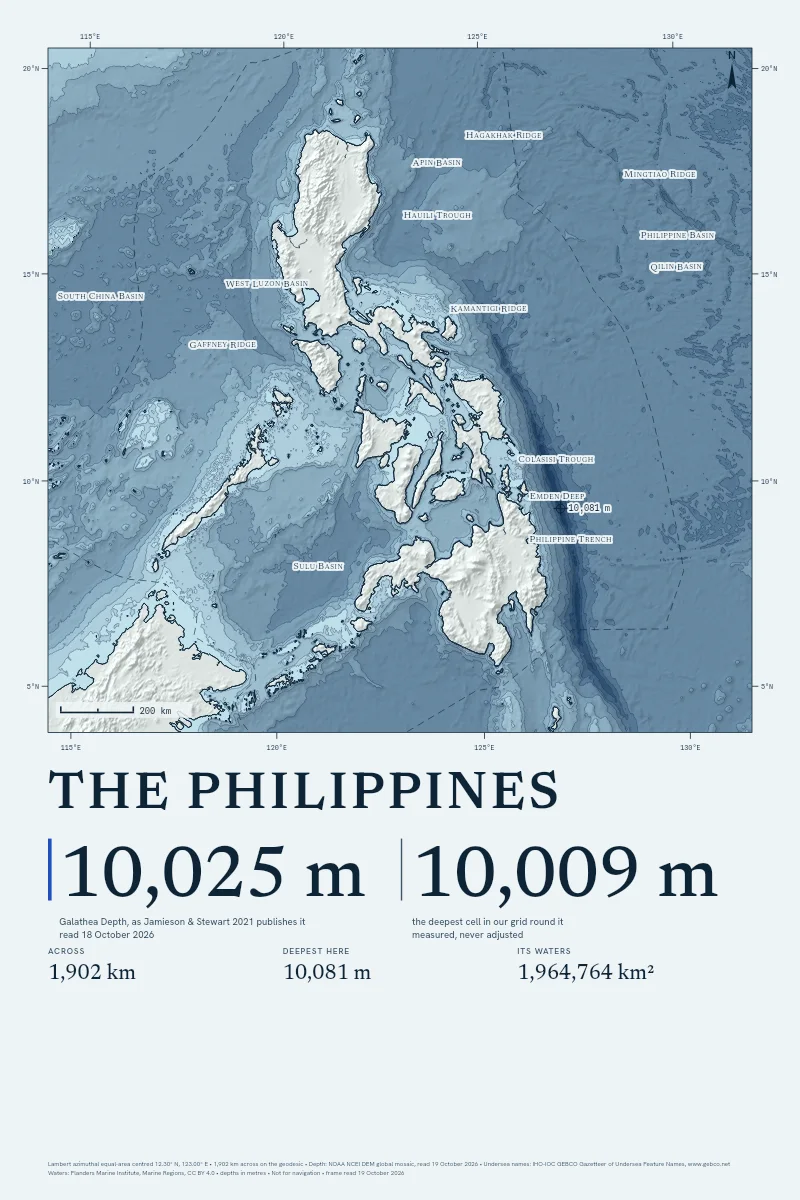
The Philippines
From $90
1,900 km across · 10,081 m deep
-
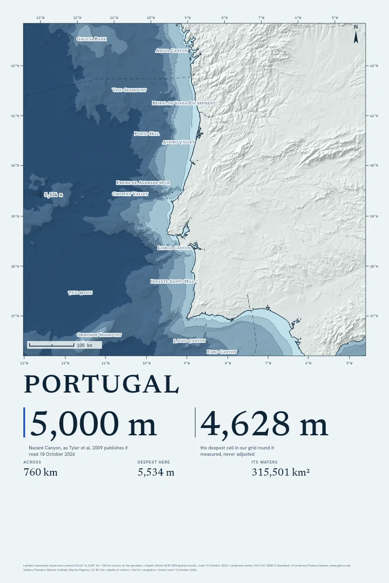
Portugal
From $90
760 km across · 5,534 m deep
-
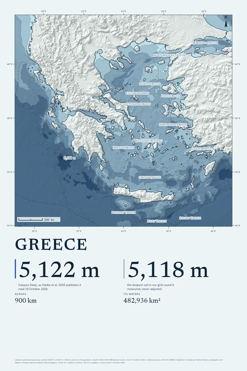
Greece
From $90
900 km across · 5,118 m deep
-
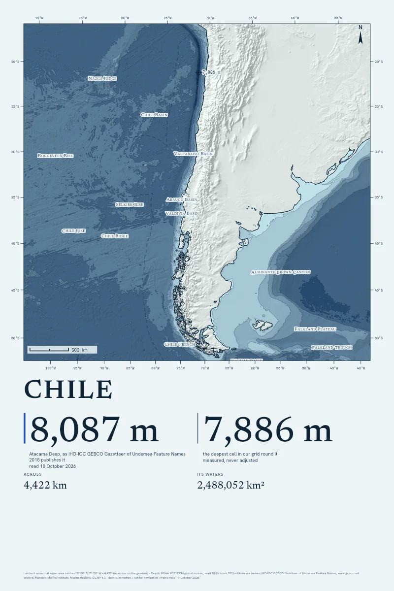
Chile
From $90
4,400 km across · 7,886 m deep
-
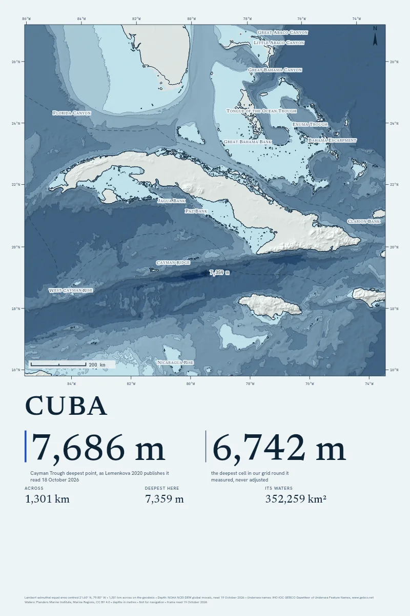
Cuba
From $90
1,300 km across · 7,359 m deep
-
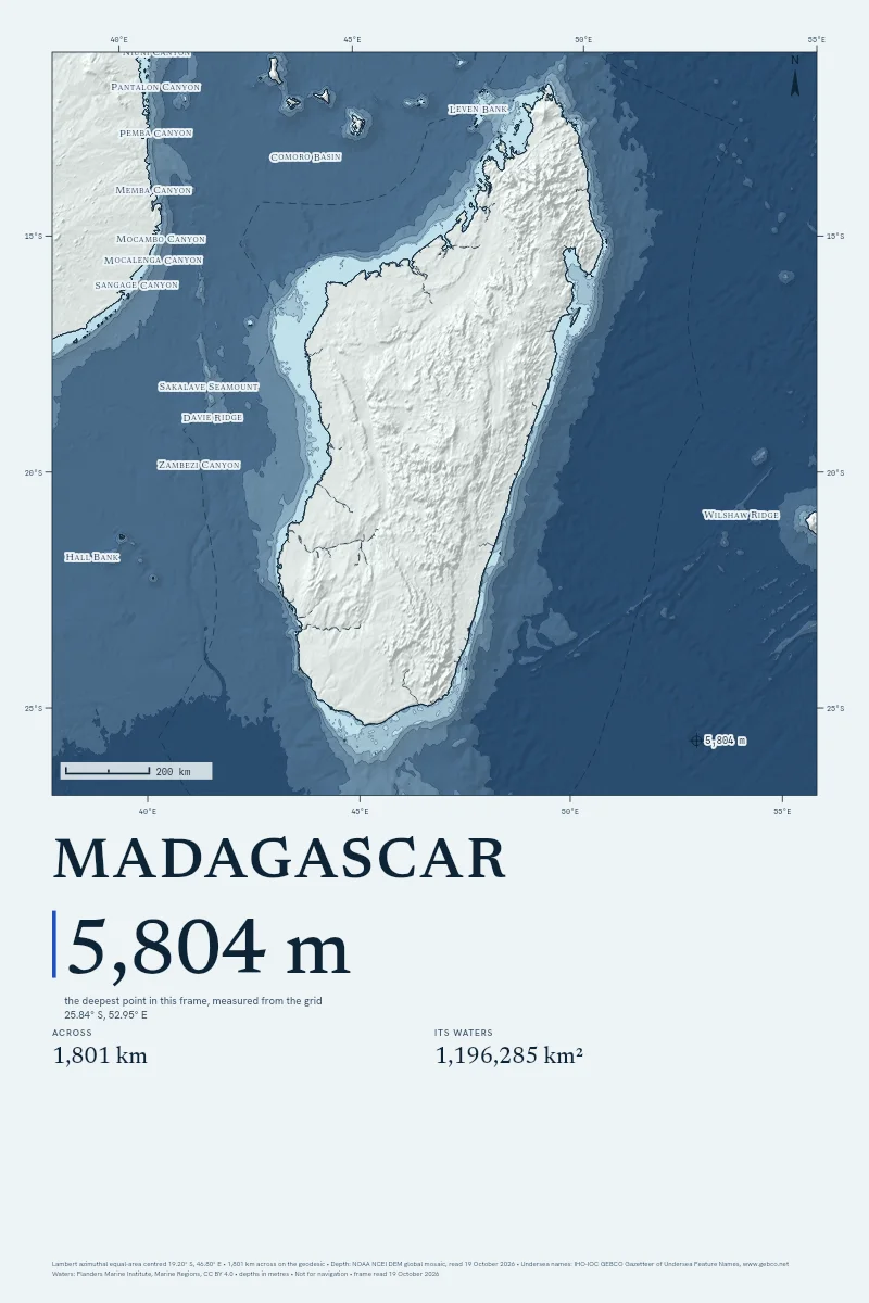
Madagascar
From $90
1,800 km across · 5,804 m deep
-
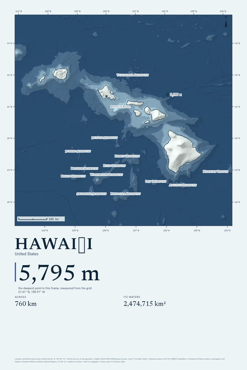
Hawaiʻi
From $90
760 km across · 5,795 m deep

No countries drawn already match that filter. Clear it, or draw your own.
Why Hang the Sea Floor
Every Depth, Measured
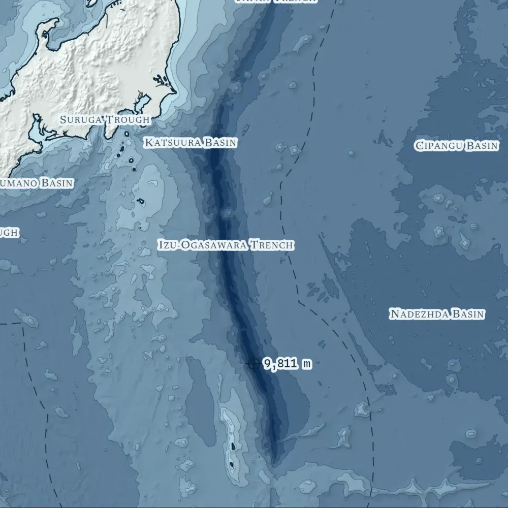
Each line on the sheet is read from NOAA's grid when you order. Where a ship has swept the floor, GMRT's multibeam is laid over it, and the margin prints how much.
Their Figure Beside Ours
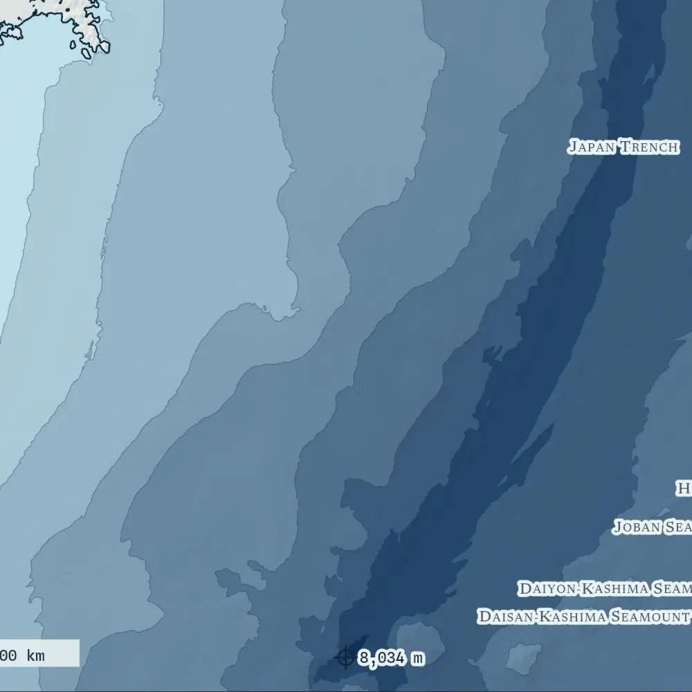
When a named deep is inside your frame, the depth its surveyors published prints beside the deepest point our grid reads. 13 of 20 land within tolerance, and the method page names the rest.
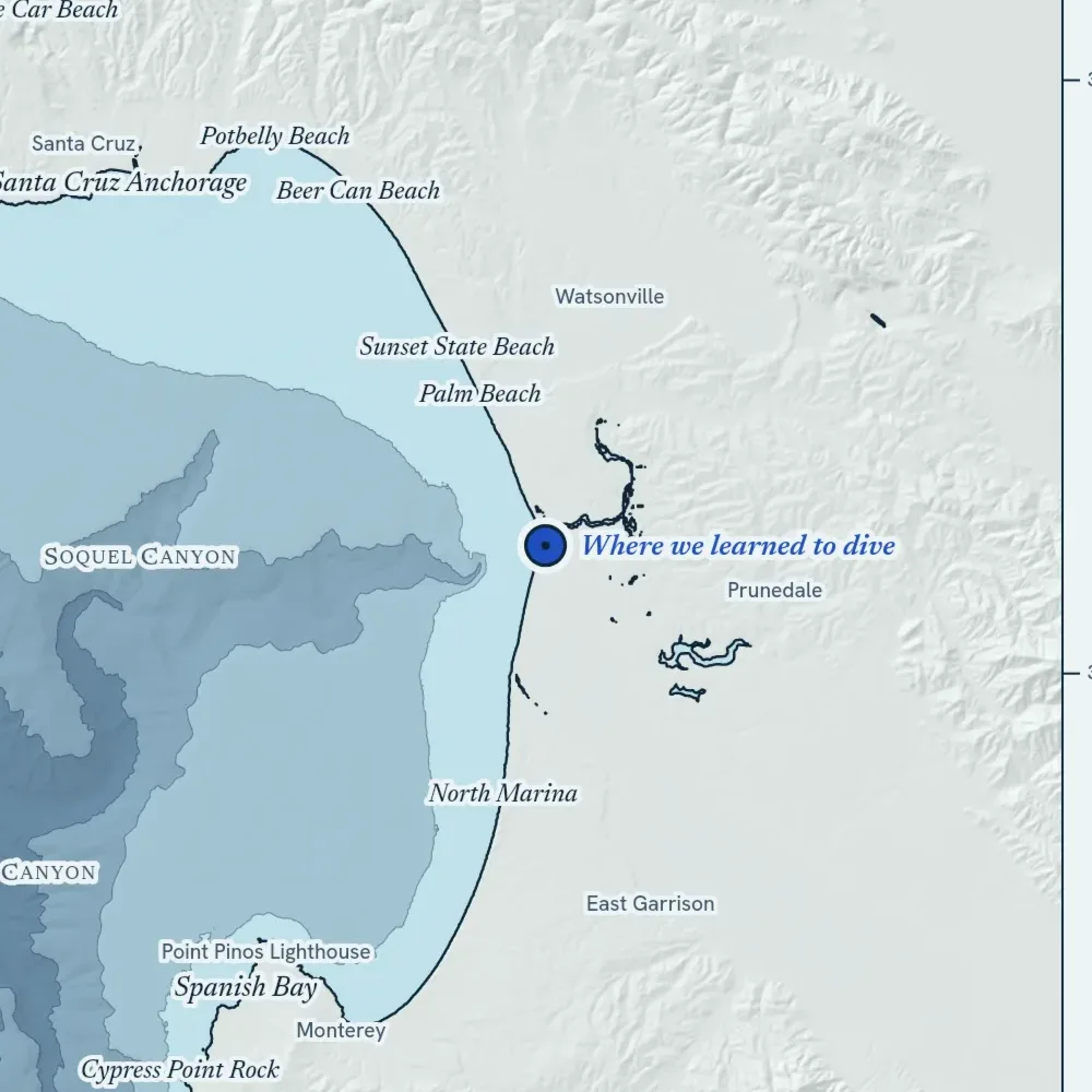
Your Pin Where You Stood
Set it in the studio and name the place. The pin is kept as a point on the drawing, never as an address.
Where do the depths come from?
NOAA's DEM global mosaic, for every frame. In a spot frame up to 400 km across, GMRT's ship multibeam is laid over it wherever a ship has swept the floor, and ETOPO 2022 stands in if the mosaic doesn't answer. The method page has the detail.
How close are they to the published depths?
We checked twenty named deeps before the first print was sold: 13 land within 3% or 150 m of the depth their surveyors published. Outside the survey tracks the grid is a model, and every sheet prints how much of its frame a ship has swept.
Can I use it on a boat?
No. Every sheet prints "Not for navigation" in its margin, and it means it. Take a current chart from your hydrographic office.
Is the Satellite style a photograph of the sea?
Only the land is: a real pass from Sentinel-2, the USDA's aerial survey or NASA, with its source and date in the margin. The sea is drawn from the depth grid, because no satellite sees the floor past the shallows.
How big can it print?
Up to 40 × 60 inches on art paper, canvas or float-framed canvas, and 40 × 40 square. Find Your Size hangs each tall sheet in a room at true scale, beside a person of known height.
Where do you ship, and what does it cost?
The United States, Canada, the United Kingdom, Australia, Ireland, New Zealand, France, Germany, the Netherlands, Spain and Italy. Shipping is the printer's own charge, at cost, quoted before you pay.