Coasts Drawn to the Sea Floor
These 10 are drawn already, 80 to 500 km across, each with a canyon, a wall or a trench inside the frame.
Open one to see it up close and order it, or draw any other coast in the studio.
-
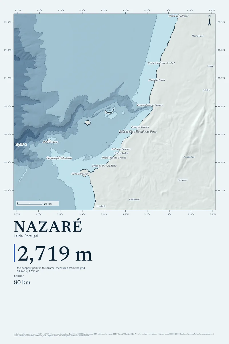
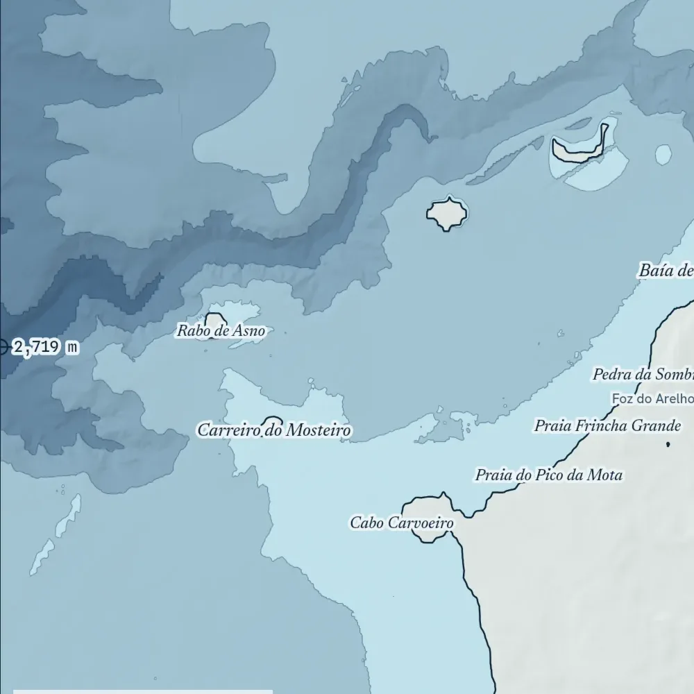
Nazaré
From $90
80 km across · 2,719 m deep
-
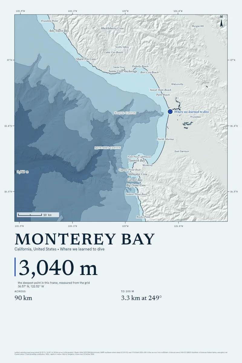
Monterey Bay
From $90
90 km across · 3,040 m deep
-
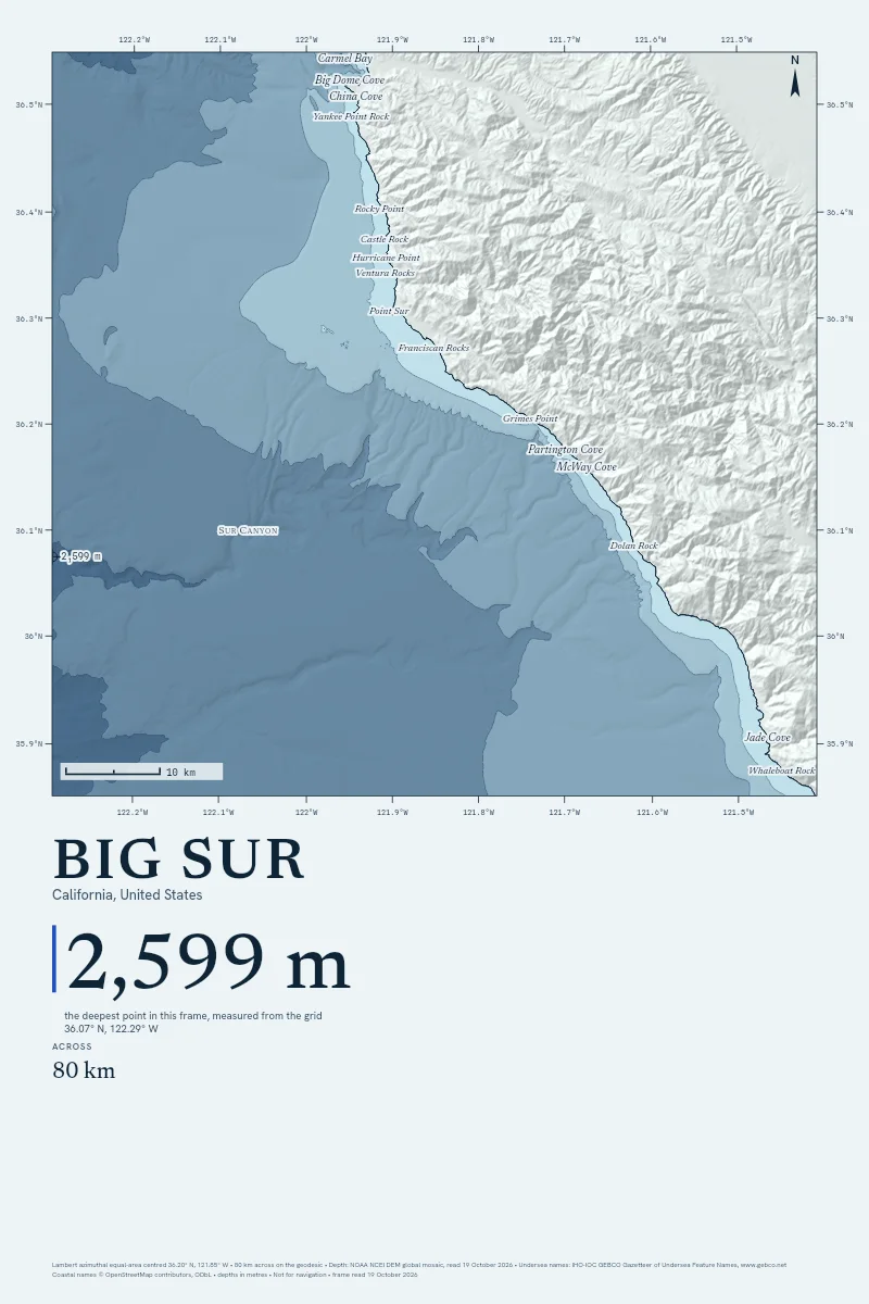
Big Sur
From $90
80 km across · 2,599 m deep
-
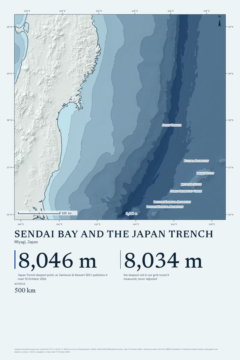
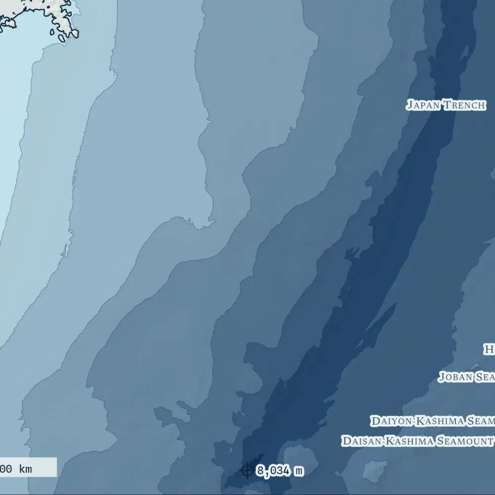
Sendai Bay and the Japan Trench
From $90
500 km across · 8,034 m deep
-
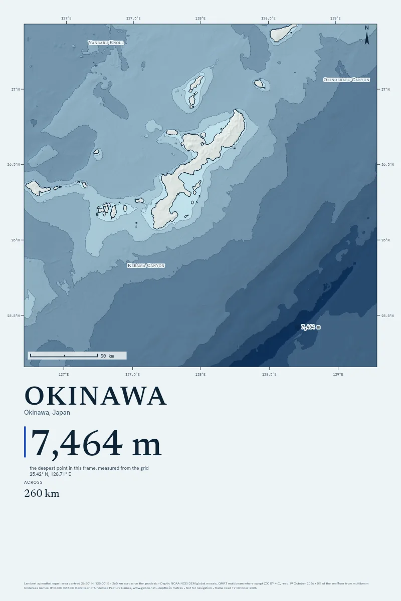
Okinawa
From $90
260 km across · 7,464 m deep
-
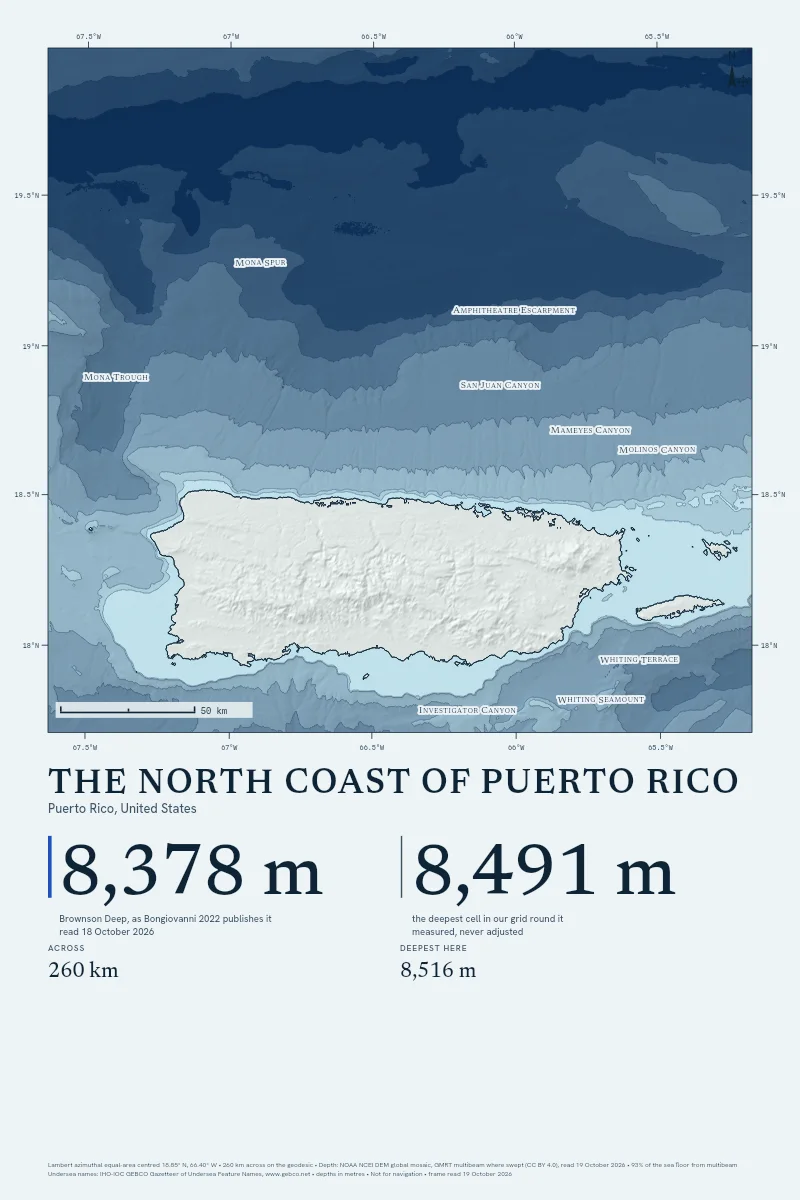
The North Coast of Puerto Rico
From $90
260 km across · 8,516 m deep
-
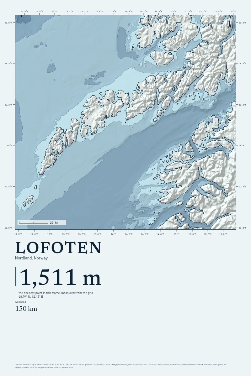
Lofoten
From $90
150 km across · 1,511 m deep
-
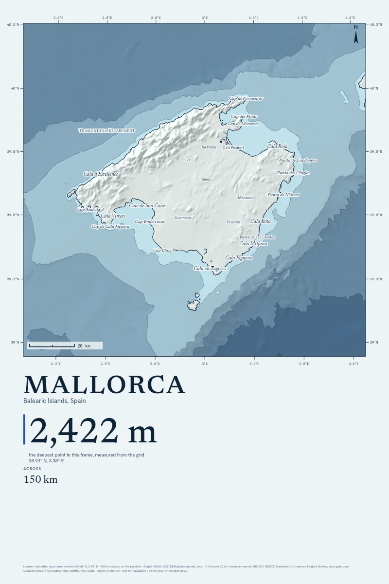
Mallorca
From $90
150 km across · 2,422 m deep
-
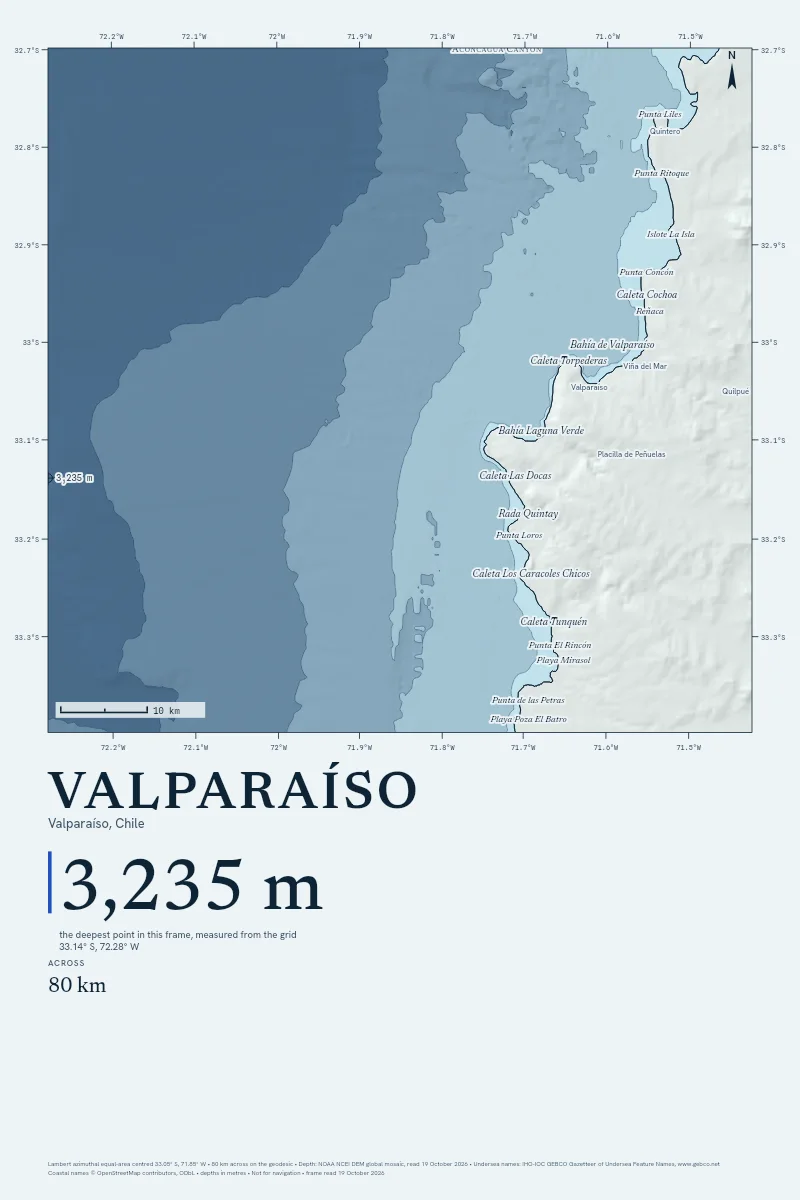
Valparaíso
From $90
80 km across · 3,235 m deep
-
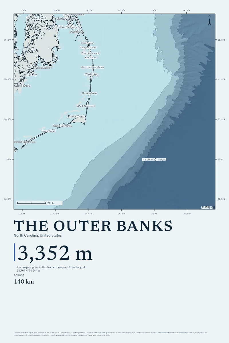
The Outer Banks
From $90
140 km across · 3,352 m deep

No coasts drawn already match that filter. Clear it, or draw your own.
Not in the gallery, because a frame here needs sea floor deeper than 200 m and a named feature inside the drawing. Kaikōura, Grand Cayman, Kona, Nā Pali, Reykjanes, Cape Town, The Lombok Strait, Galle, Santorini, Taitung, Lima, Kodiak, Cape Cod, The Florida Keys and Hainan: no named undersea feature or published deep falls inside the drawing. Rio de Janeiro (deepest 109 m): the drawing holds no sea floor deeper than 200 m. The studio still draws every one of them.
Why Hang the Sea Floor
Every Depth, Measured
Each line on the sheet is read from NOAA's grid when you order. Where a ship has swept the floor, GMRT's multibeam is laid over it, and the margin prints how much.
Their Figure Beside Ours
When a named deep is inside your frame, the depth its surveyors published prints beside the deepest point our grid reads. 13 of 20 land within tolerance, and the method page names the rest.
Your Pin Where You Stood
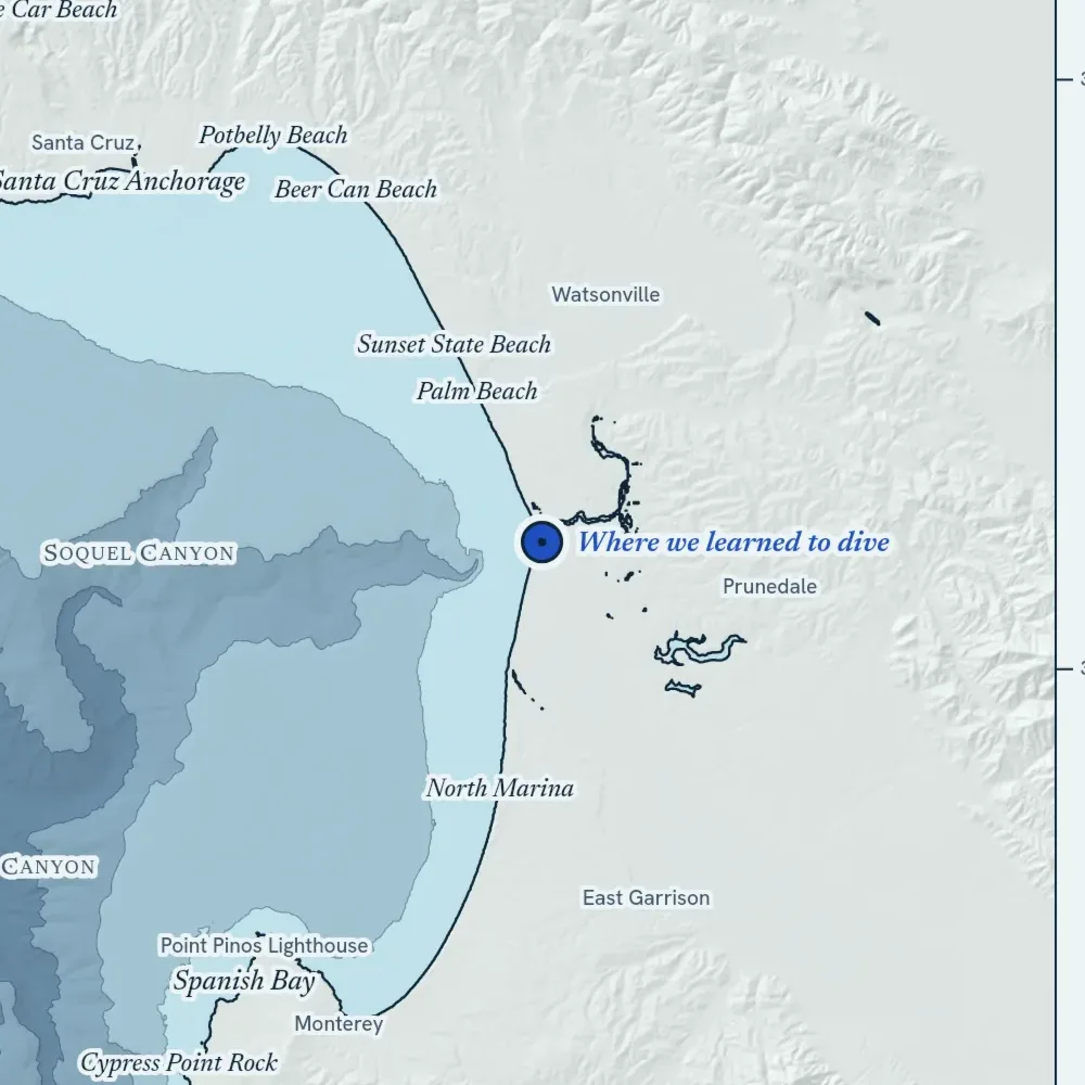
Set it in the studio and name the place. The pin is kept as a point on the drawing, never as an address.
Where do the depths come from?
NOAA's DEM global mosaic, for every frame. In a spot frame up to 400 km across, GMRT's ship multibeam is laid over it wherever a ship has swept the floor, and ETOPO 2022 stands in if the mosaic doesn't answer. The method page has the detail.
How close are they to the published depths?
We checked twenty named deeps before the first print was sold: 13 land within 3% or 150 m of the depth their surveyors published. Outside the survey tracks the grid is a model, and every sheet prints how much of its frame a ship has swept.
Can I use it on a boat?
No. Every sheet prints "Not for navigation" in its margin, and it means it. Take a current chart from your hydrographic office.
Is the Satellite style a photograph of the sea?
Only the land is: a real pass from Sentinel-2, the USDA's aerial survey or NASA, with its source and date in the margin. The sea is drawn from the depth grid, because no satellite sees the floor past the shallows.
How big can it print?
Up to 40 × 60 inches on art paper, canvas or float-framed canvas, and 40 × 40 square. Find Your Size hangs each tall sheet in a room at true scale, beside a person of known height.
Where do you ship, and what does it cost?
The United States, Canada, the United Kingdom, Australia, Ireland, New Zealand, France, Germany, the Netherlands, Spain and Italy. Shipping is the printer's own charge, at cost, quoted before you pay.