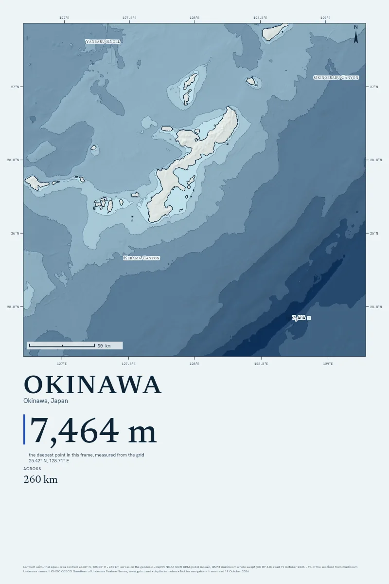
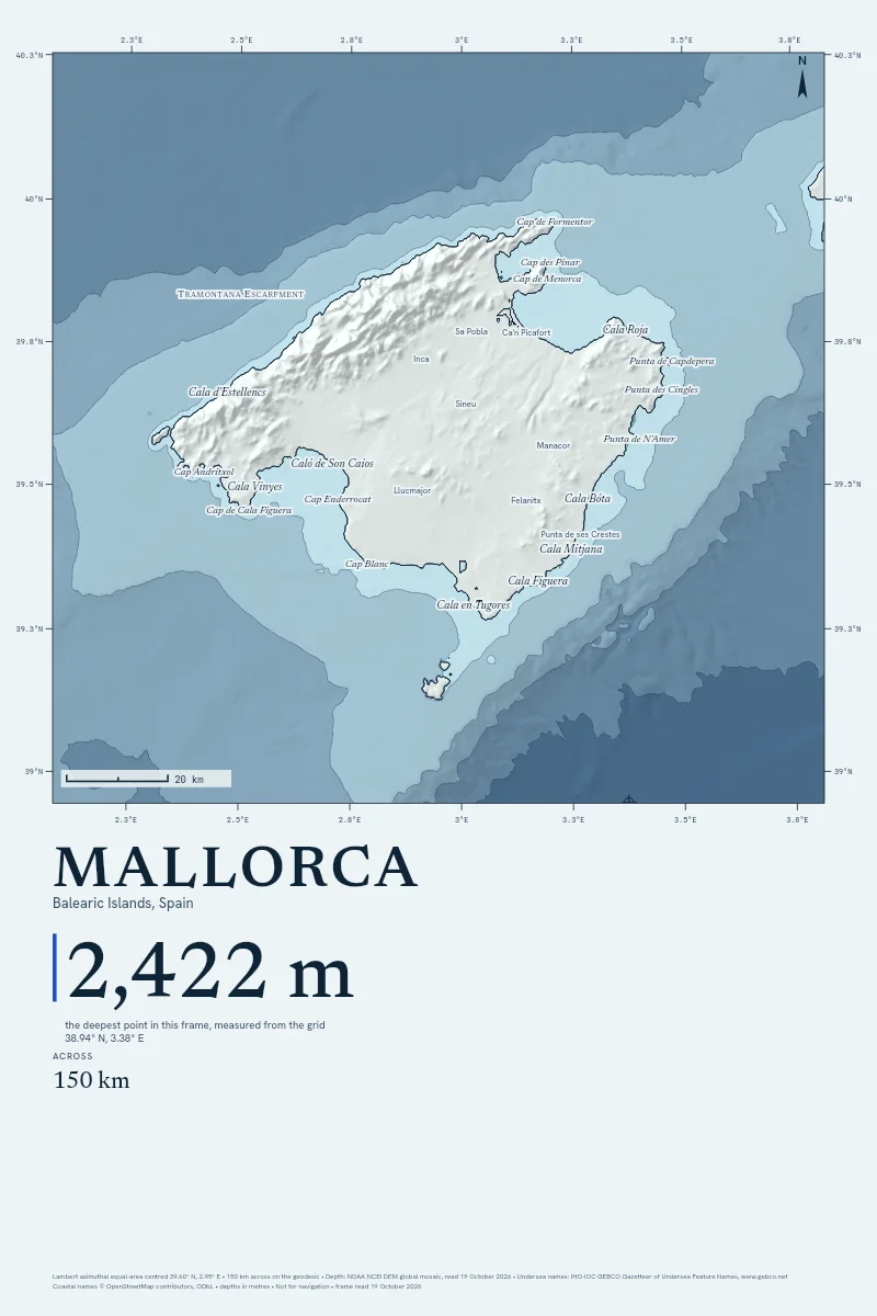
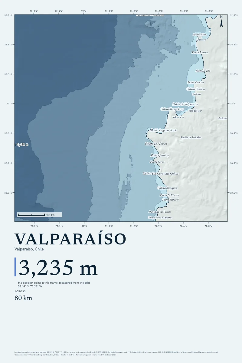
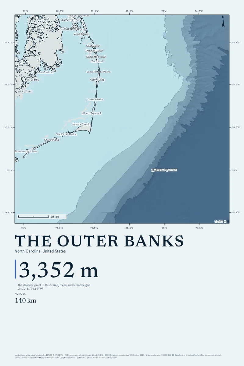
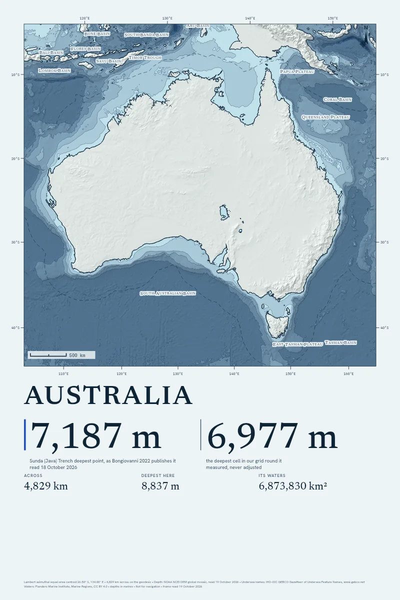
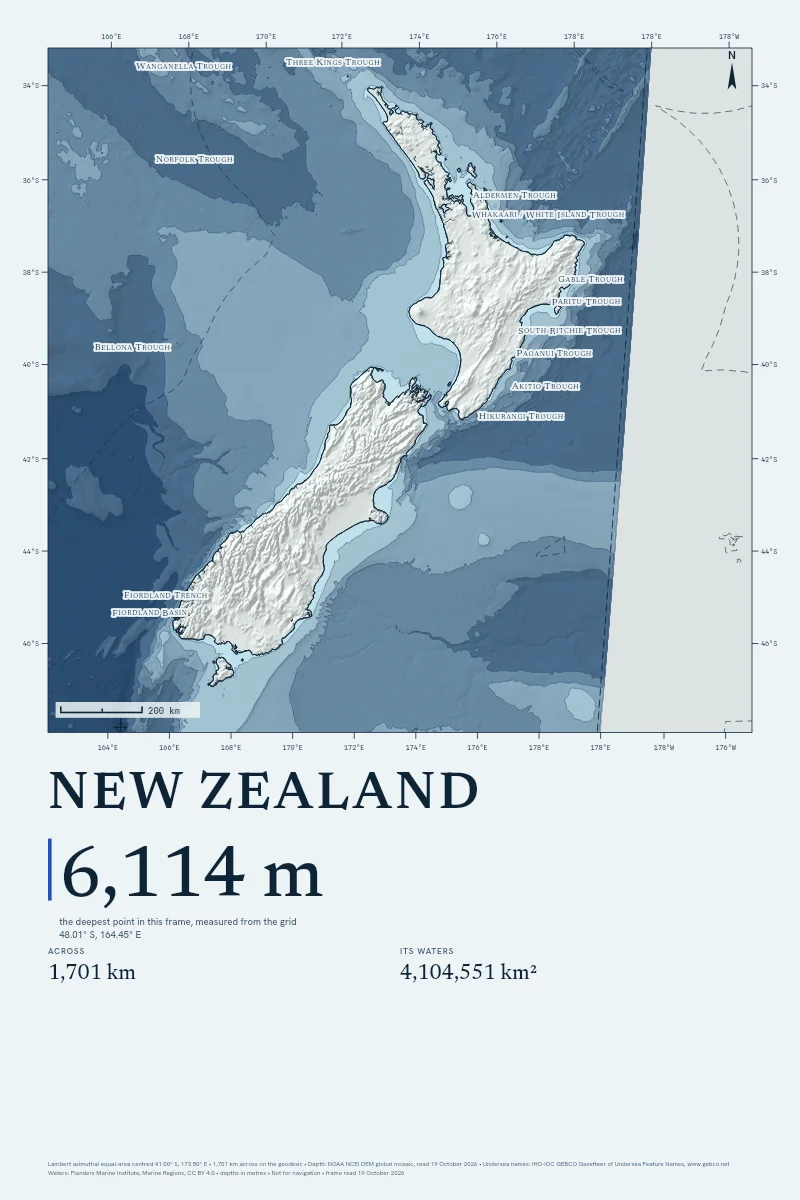
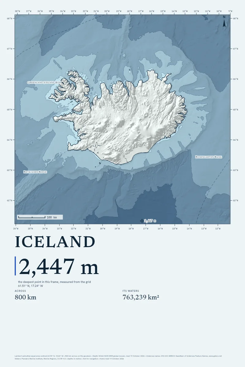
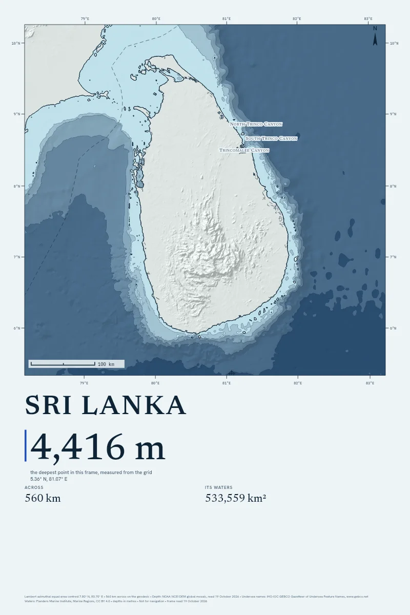
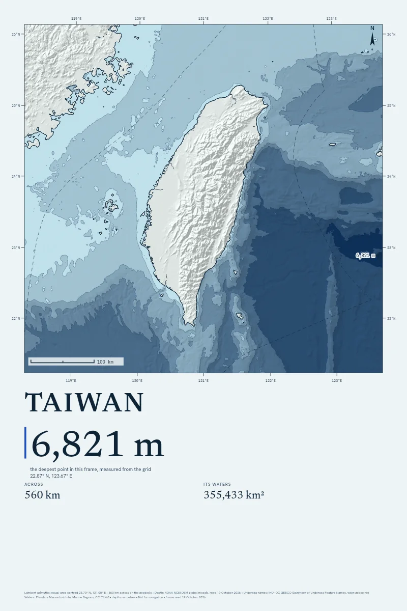
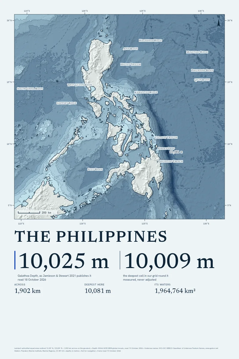
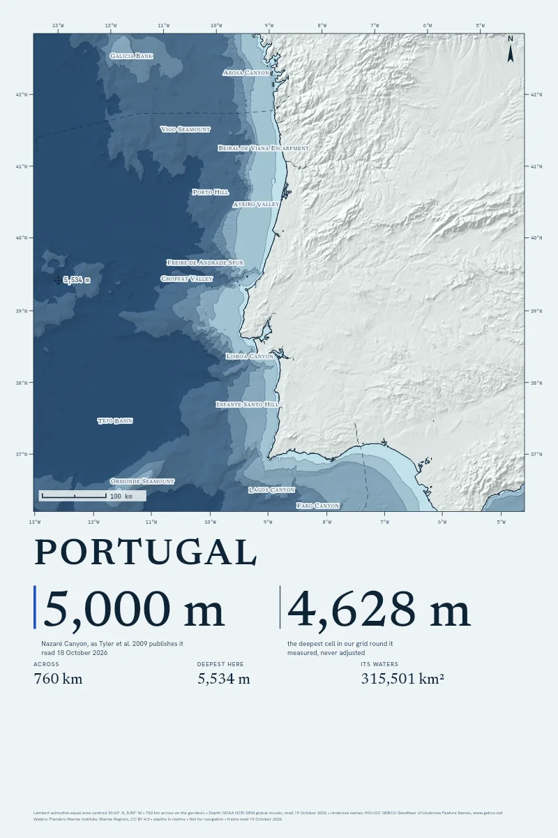
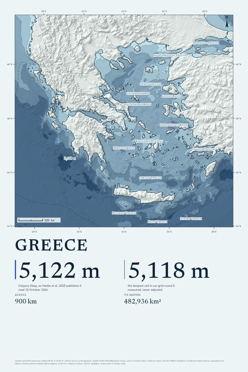
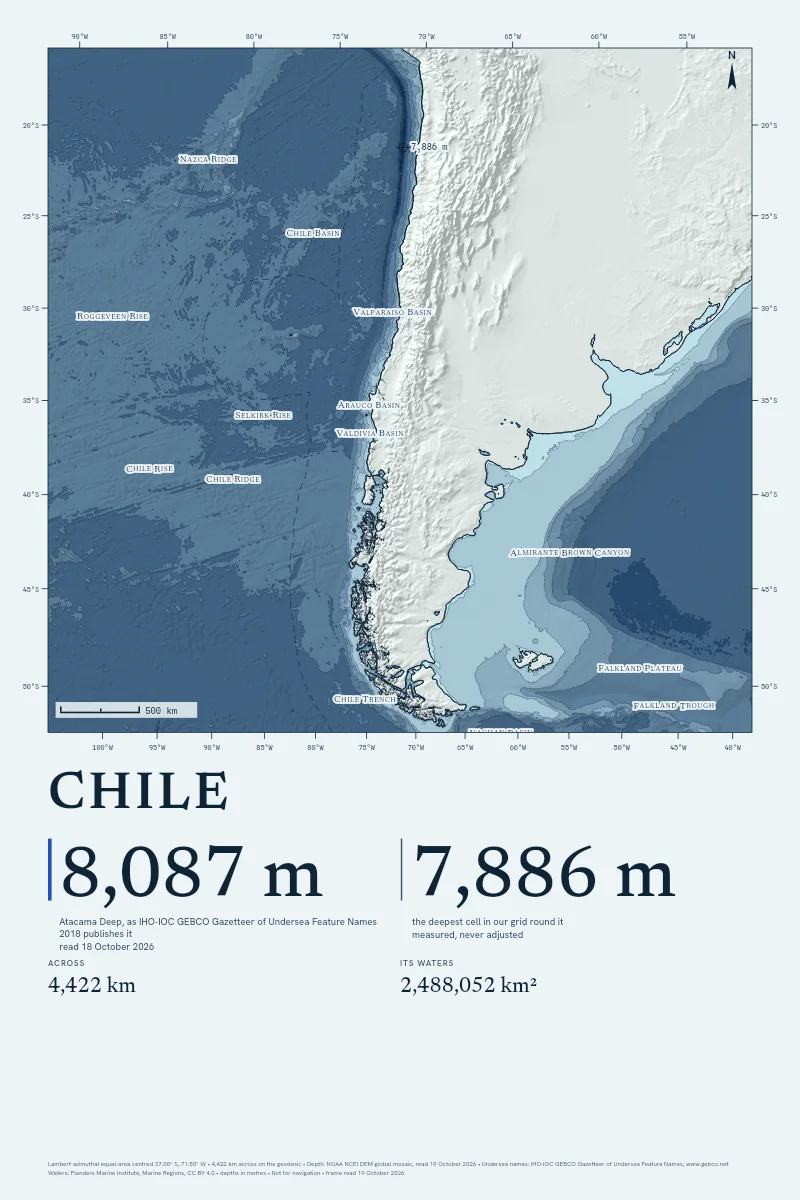
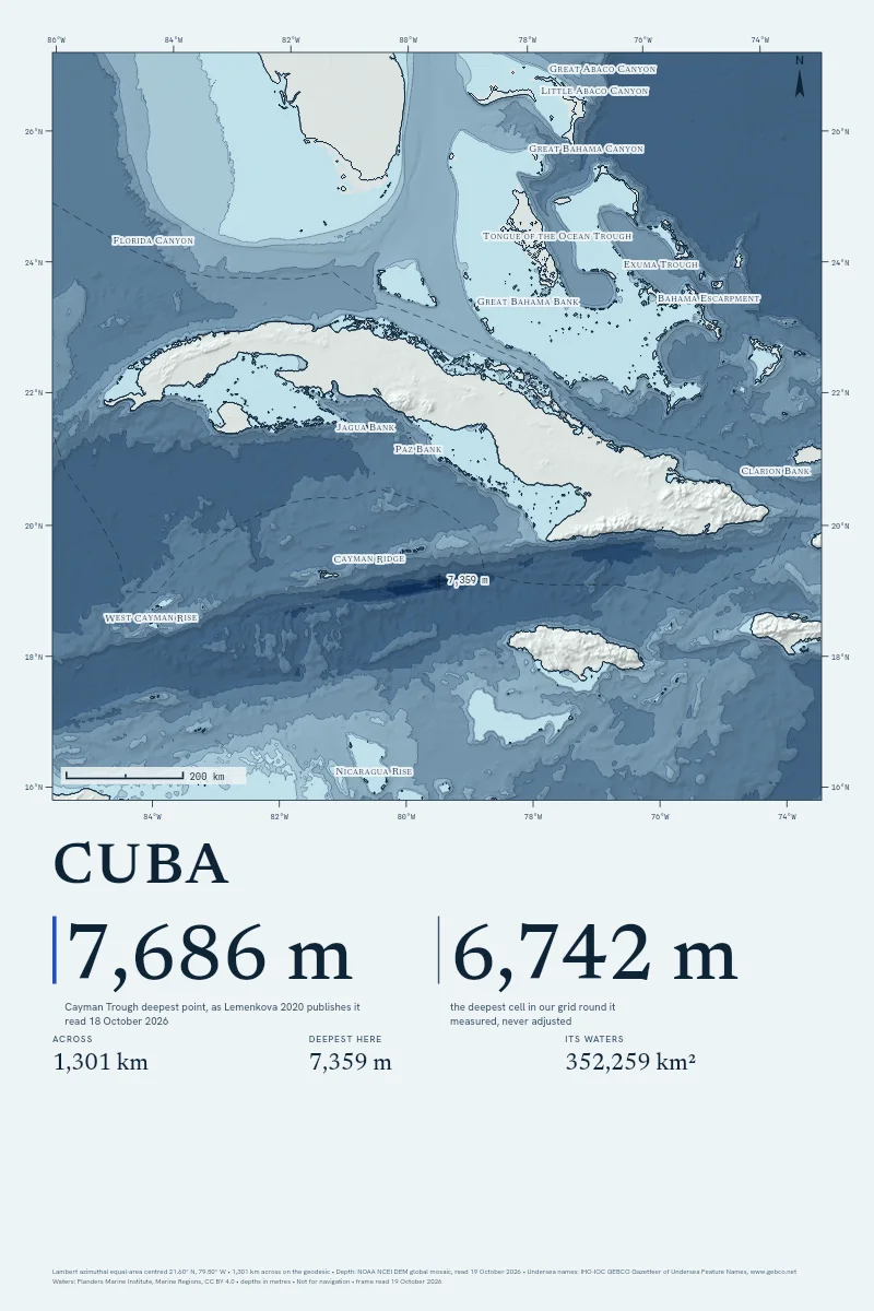
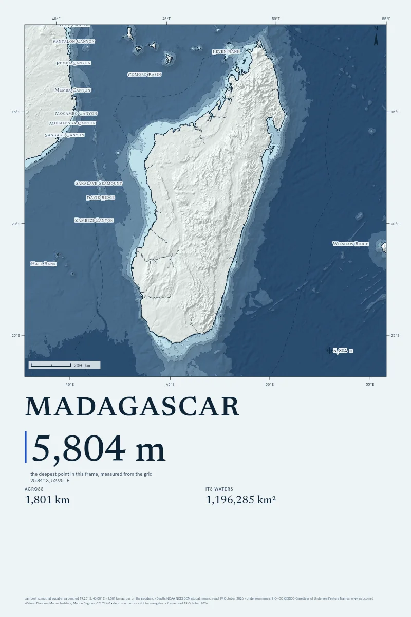
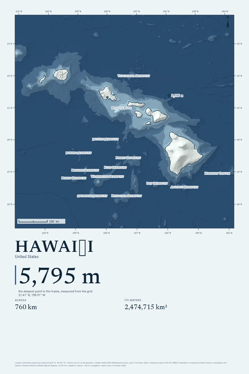
The studio finds the place and draws its sea floor.
Your Coast, Down to the Sea Floor
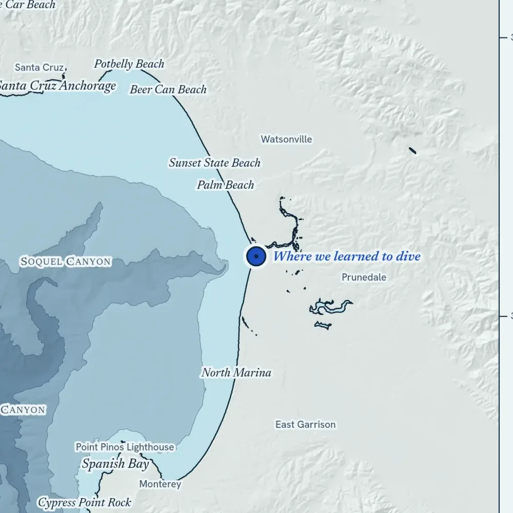
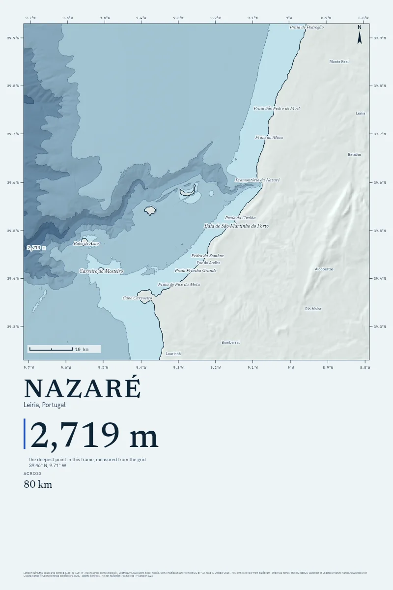
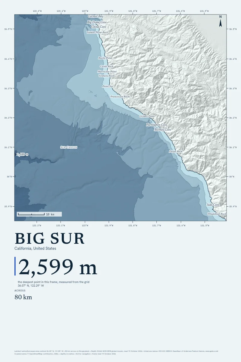
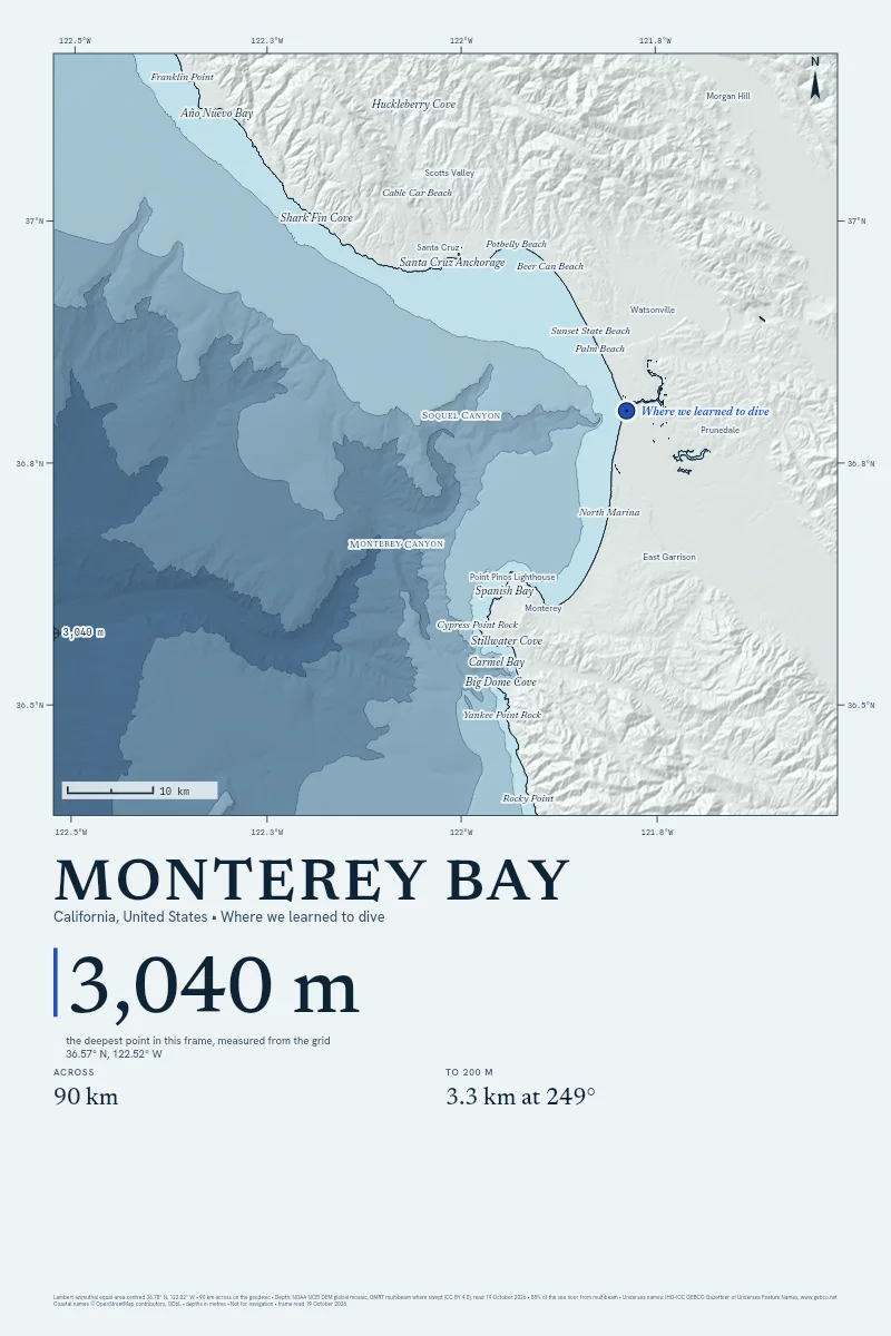
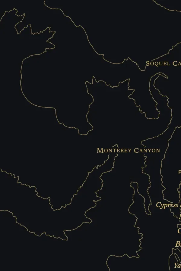
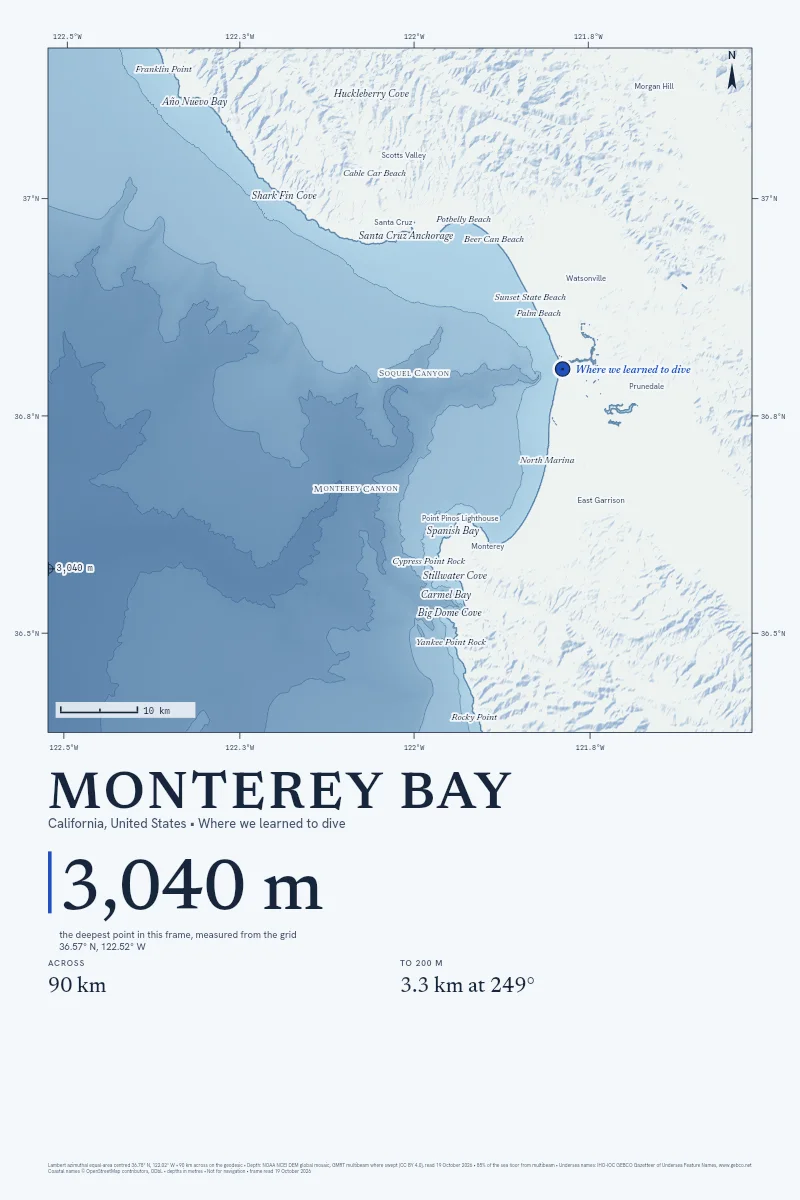
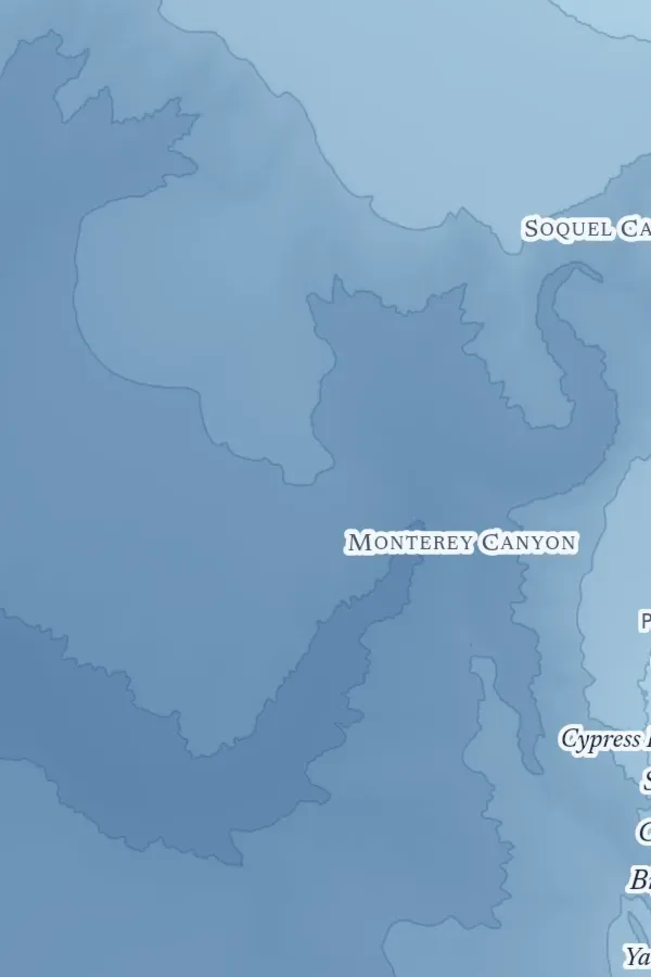
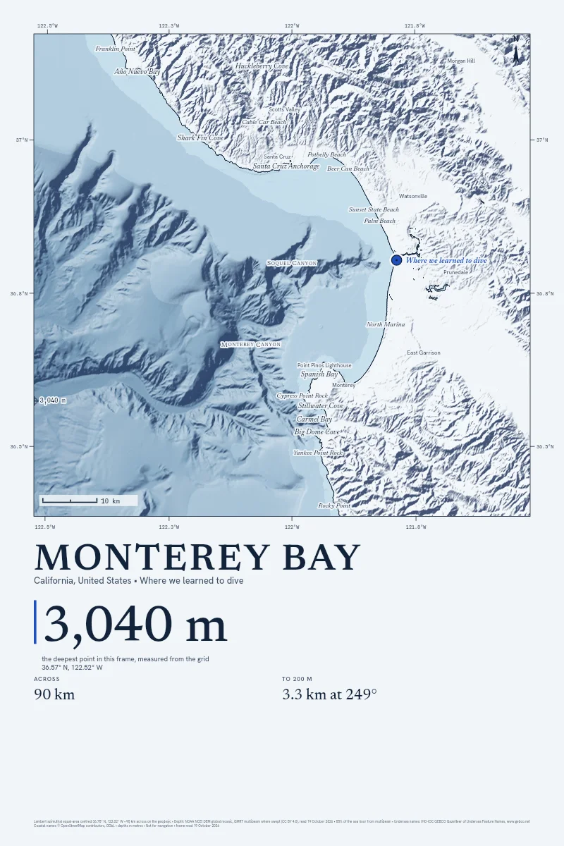
You know the step where the water goes over your head. Now hang that coast on your wall, the sea floor under it drawn in and the spot where you stood marked.
Every depth is read from NOAA's public grid when you order, and the margin names the day.
Made to Order
Paper prints leave the printer in about two working days, canvas in about five.
Printed Again if Damaged
Send a photo within 30 days of delivery and the printer makes it again.
Shipping at Cost
The printer's own charge, quoted in the studio before you pay.
Find Your Size
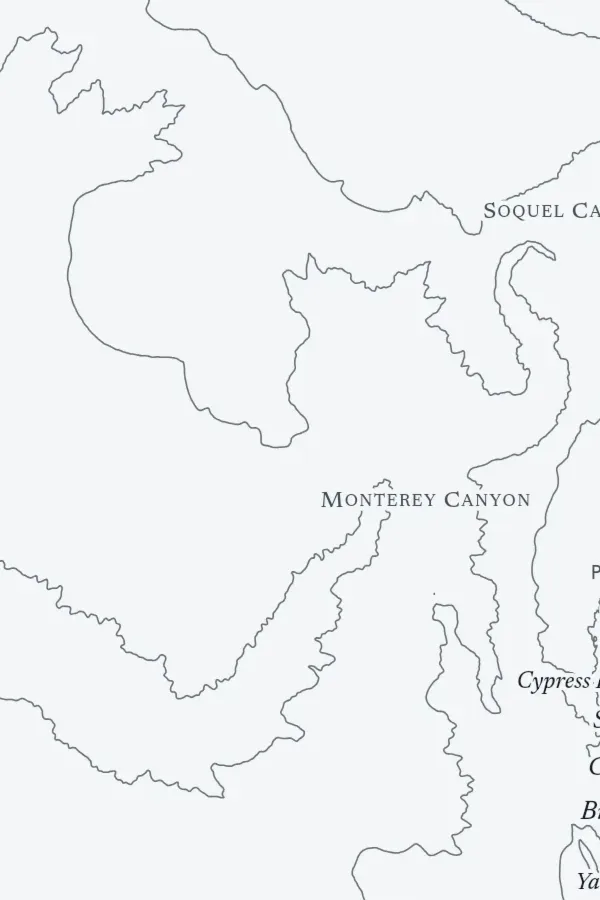
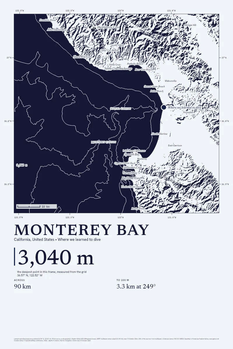
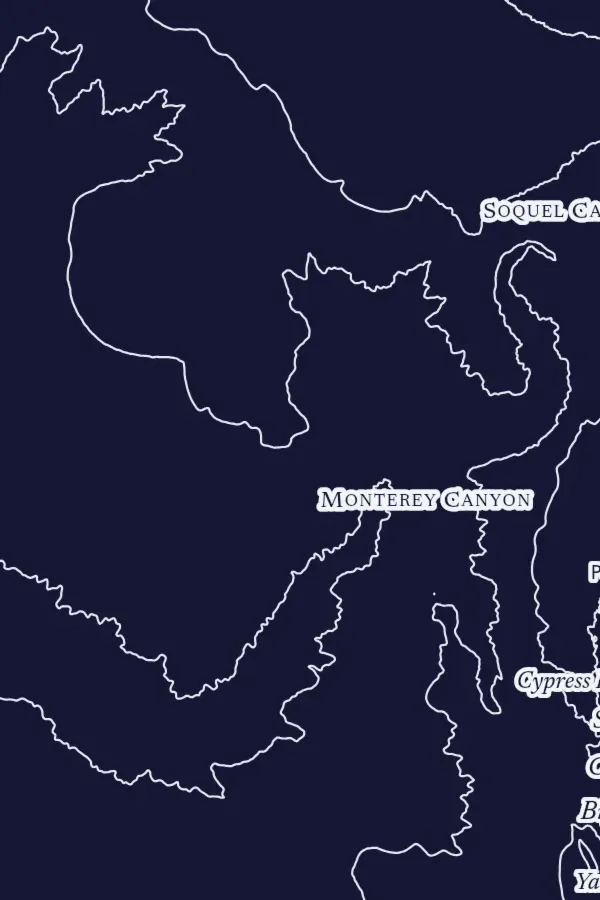
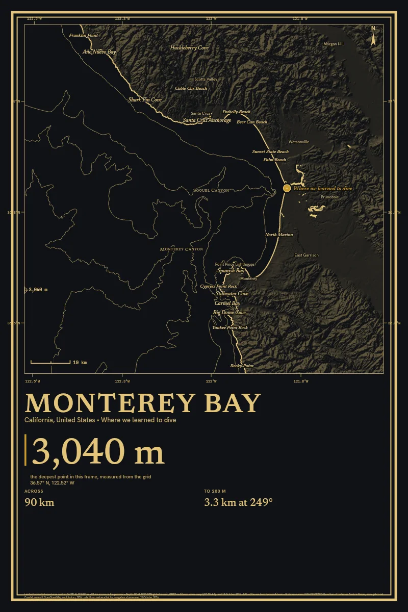
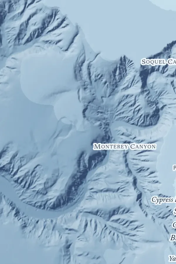
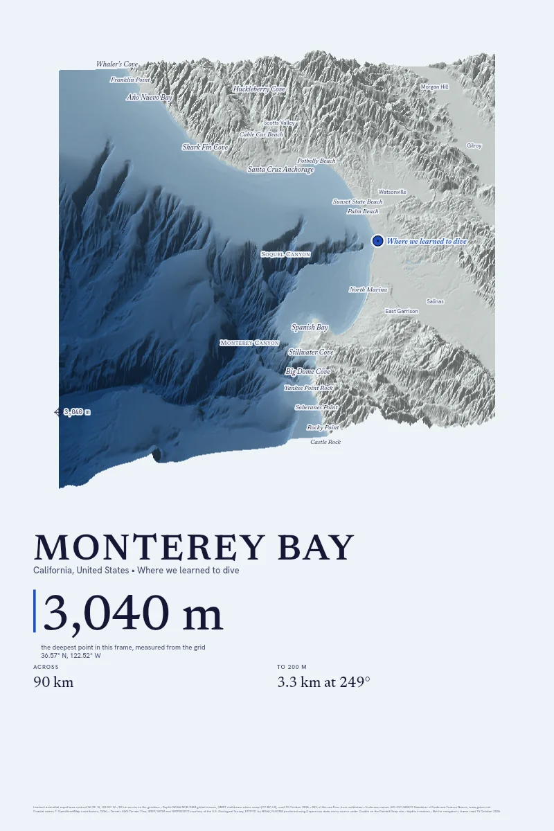
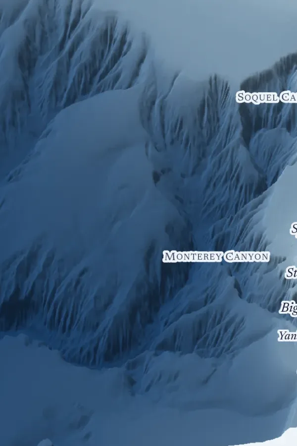
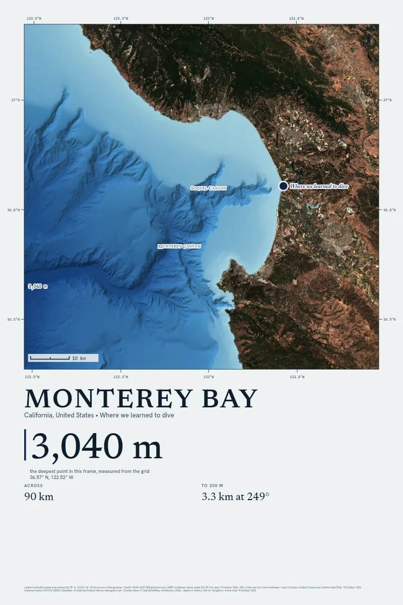
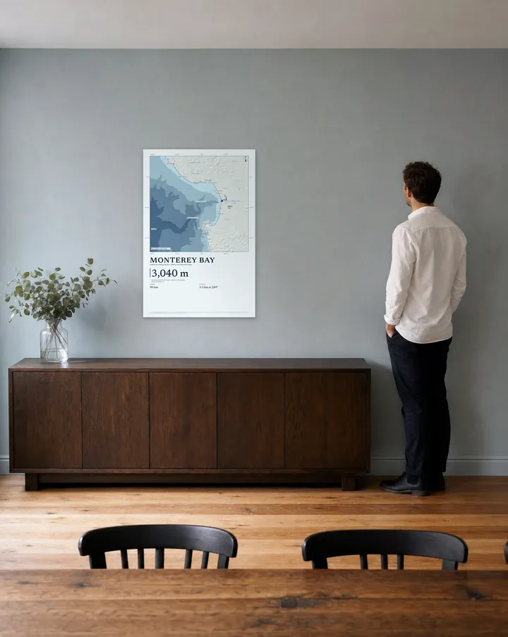
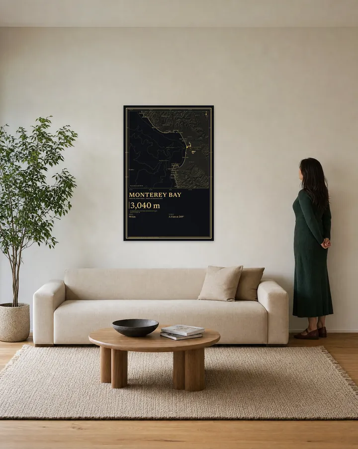
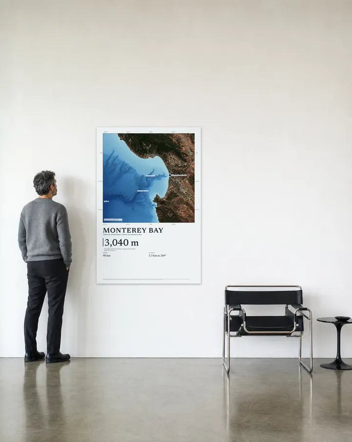
Each room is a generated picture. The print on its wall is our real drawing of Monterey Bay, set at true scale beside a person of known height. Choose one and the studio opens at that size.
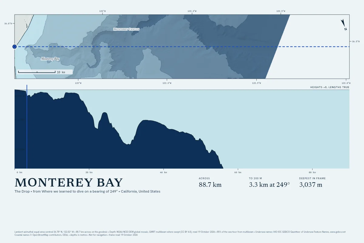
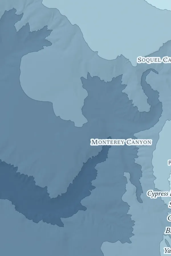
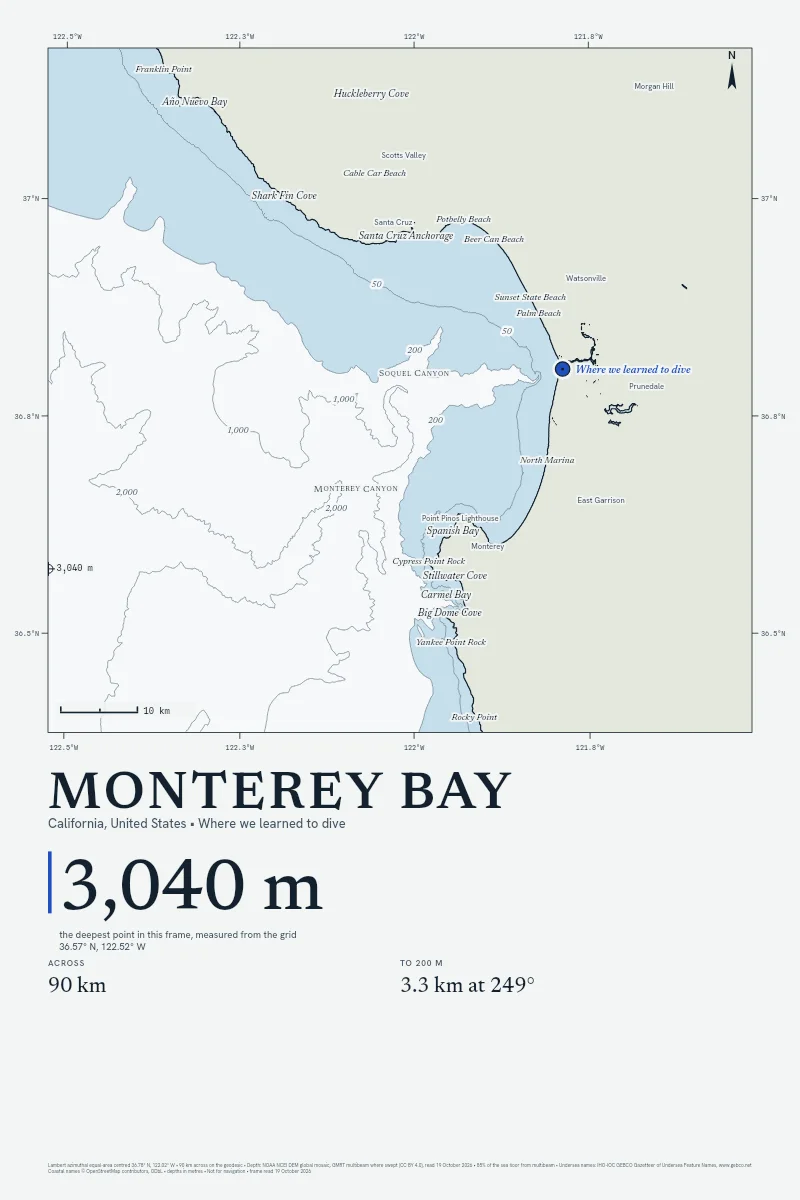
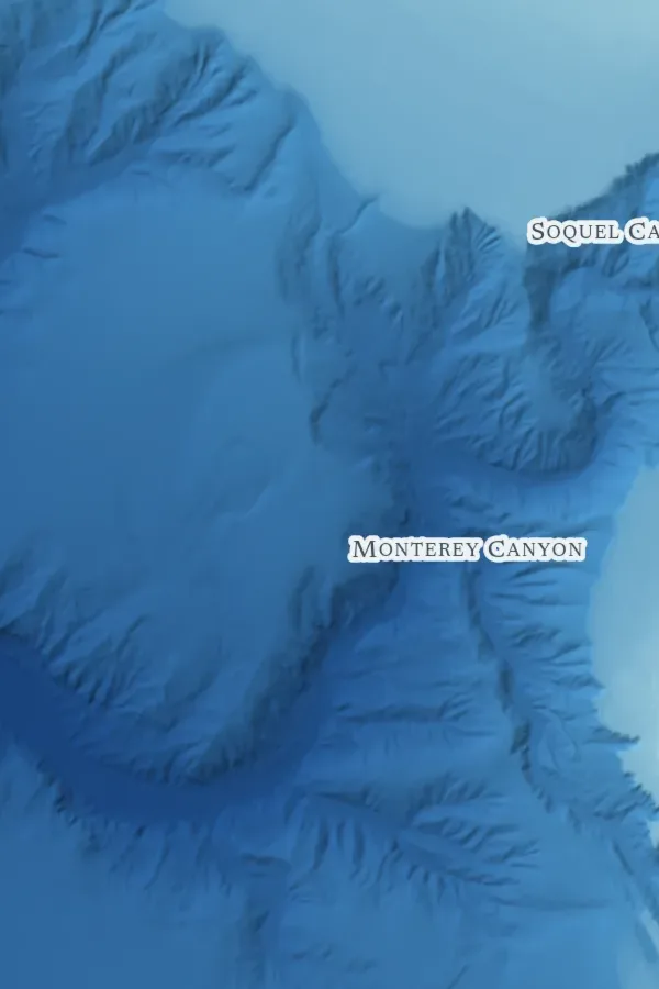
Divers talk about the lip and the wall below it. The Drop is that wall as a print: the section from your pin straight out to sea, the shelf edge marked where the floor passes 200 m, the depth stood up so the wall reads from across the room.
Shown with sample words, 60 × 40 inches at its largest.
No satellite sees the floor past the shallows. So the Satellite style lays the land from a real pass and draws the sea from the depth grid under it, with the pass's source and date in the margin and any cloud it caught left in.
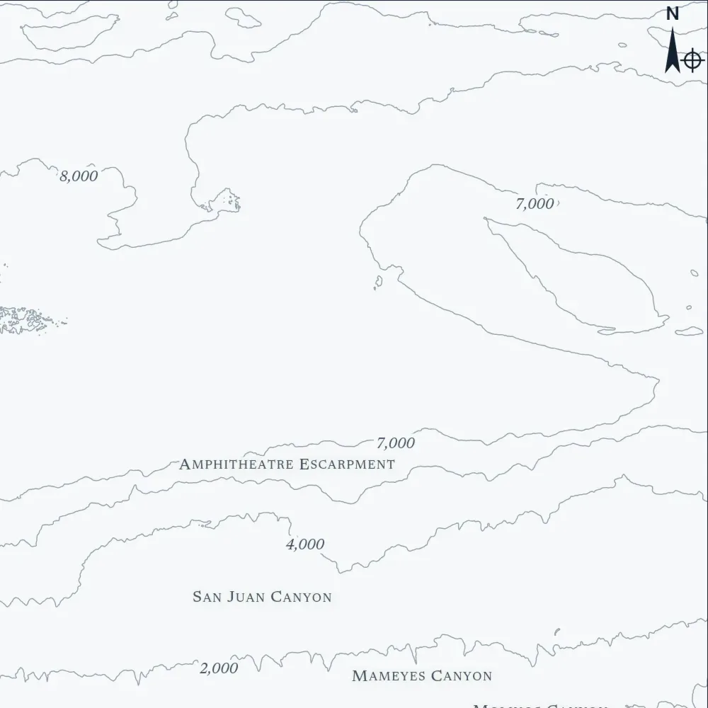
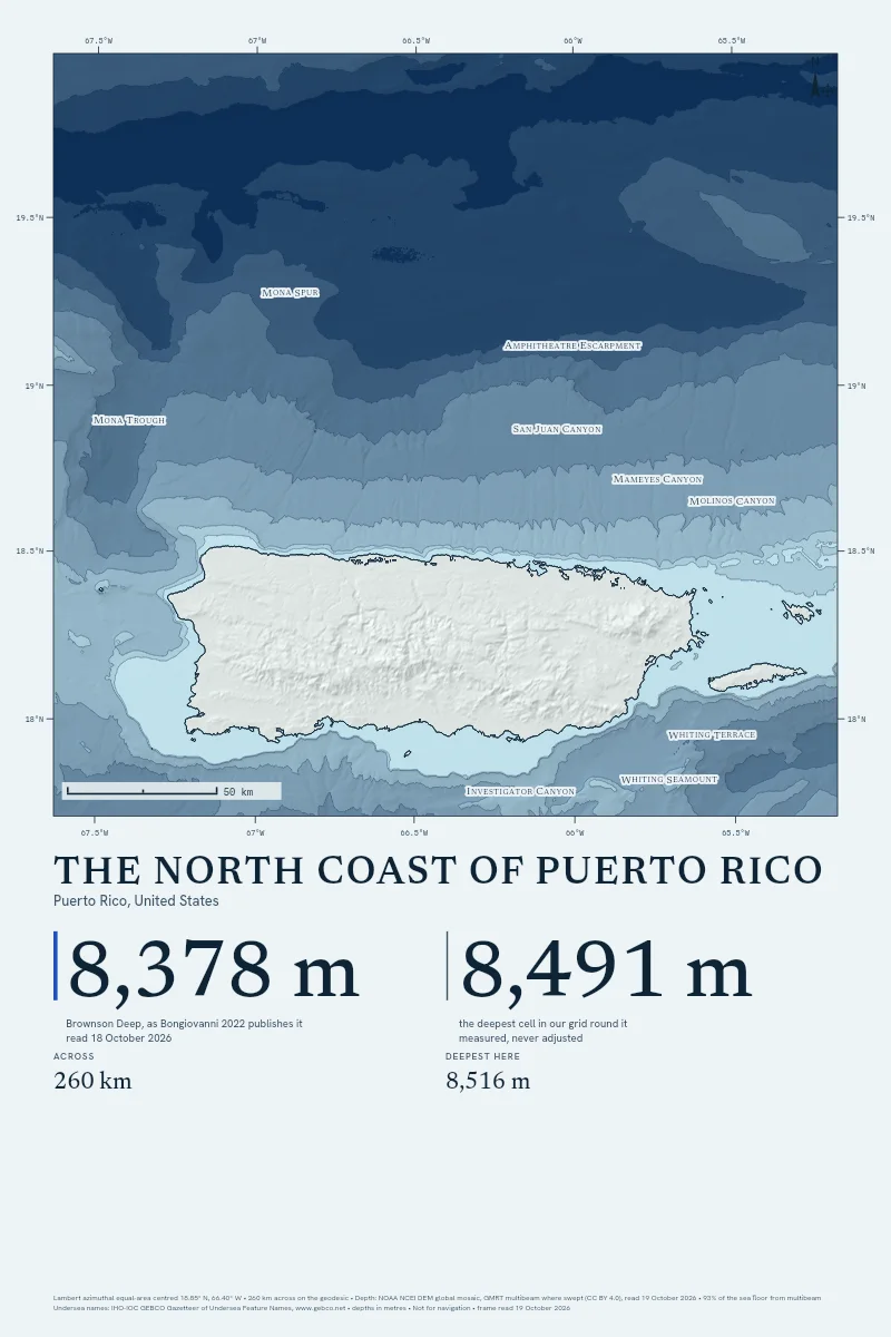
Brownson Deep, at the bottom of the Puerto Rico Trench, is published at 8,378 m by Bongiovanni. Our grid reads 8,516 m there, inside the 251 m tolerance, and the print of the coast above it sets the two figures side by side.
The tone you choose colours the sea and your pin: one of fourteen, from Blood Red to Black. Each style offers only the ones that hold 3:1 contrast on its ground.
A dive shop sells the wall under the boat. A surf school sells the reef the wave breaks on. A yacht club keeps the passage its members race. The Coast prints your stretch with your shop's pin on it, and The Drop prints the wall your boat ties up over.
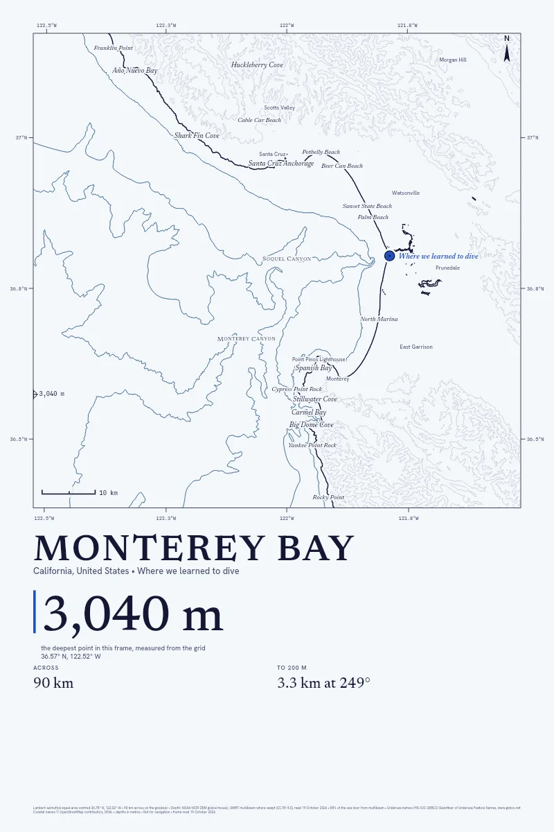
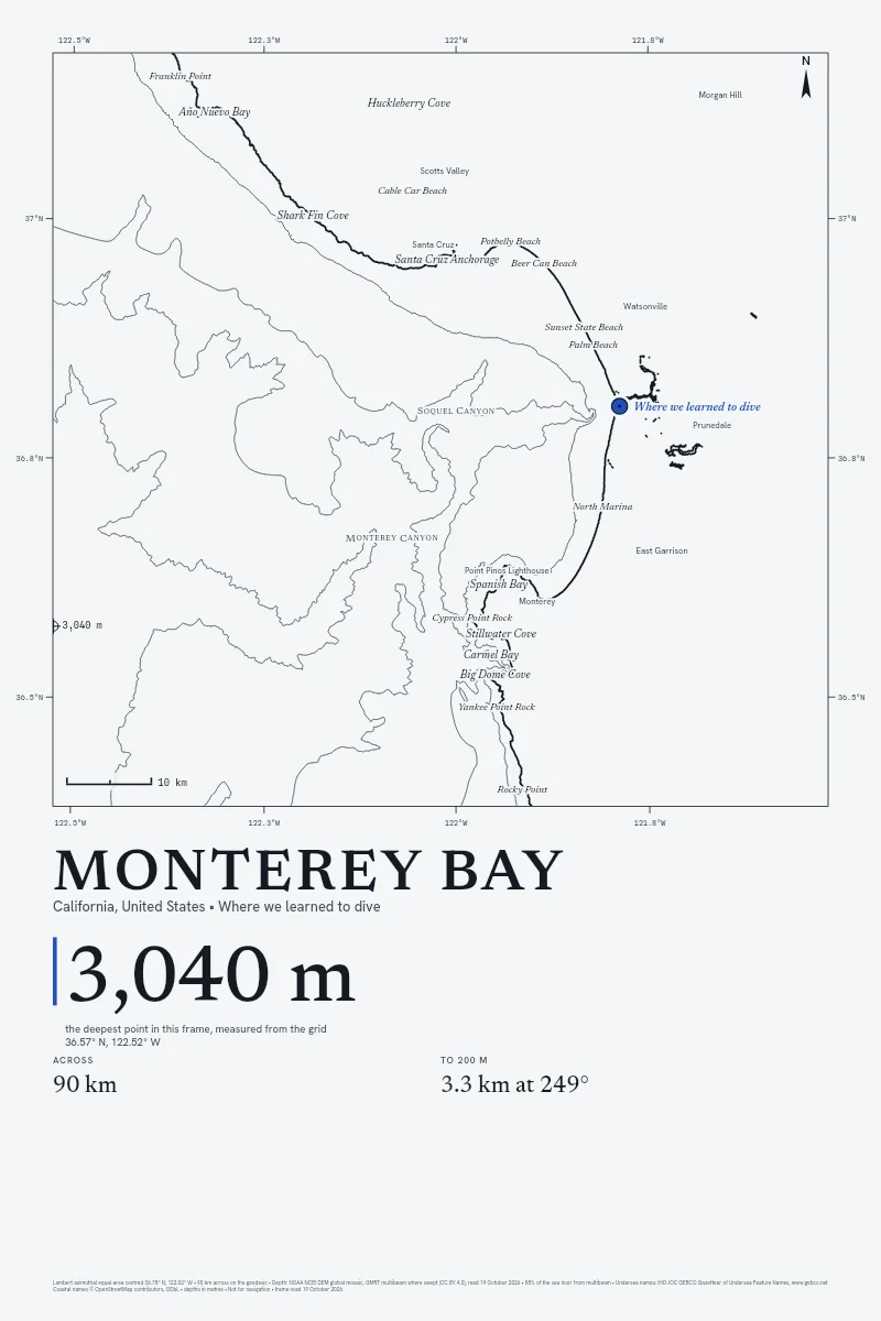
Painted Deep is a studio of the Painted family, and we read NOAA's public grid again for every order. In Monterey Bay's frame, 85% of the floor was swept by a ship's multibeam sonar, and the sheet prints that share.
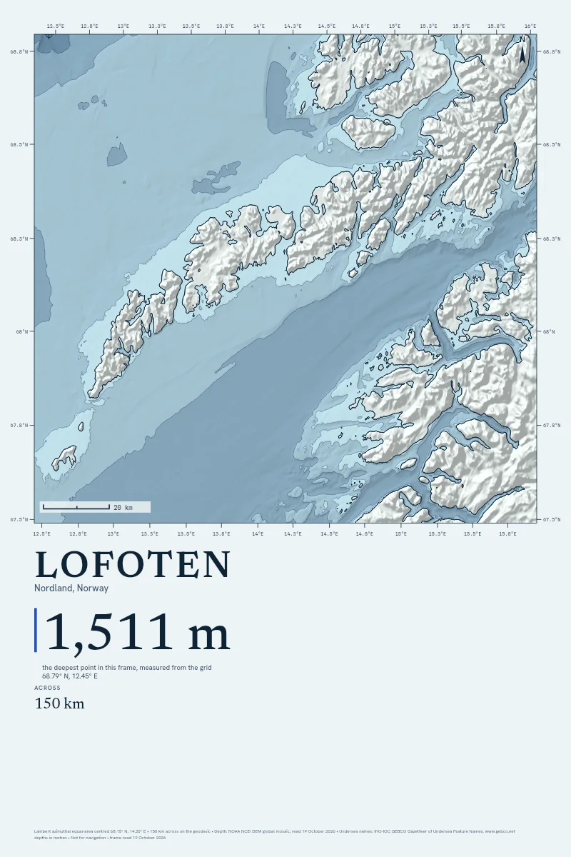
Most of the sea floor has never been swept by a ship. Outside the survey tracks our grid is a model from satellite gravity and older soundings, so every sheet says how much of its frame was measured, and the method page prints each named deep where our reading misses the published depth.
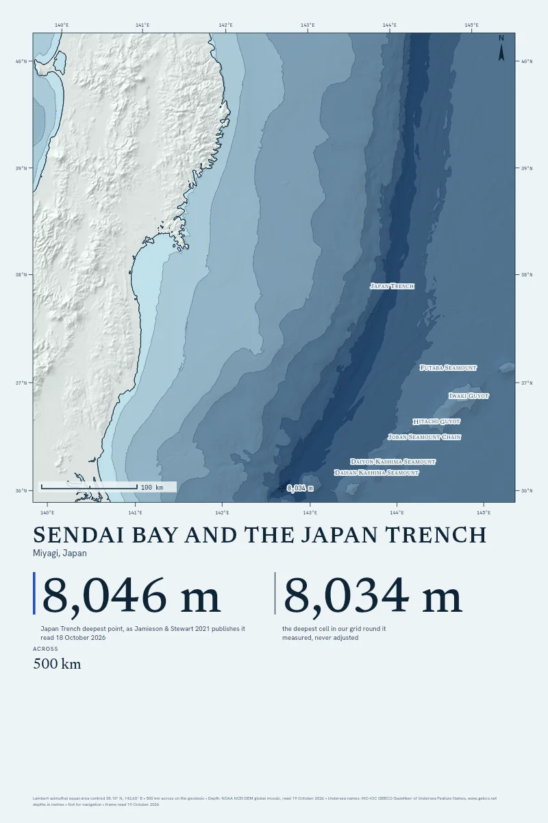
Published by Jamieson & Stewart, 'Hadal zones of the Northwest Pacific Ocean', Progress in Oceanography 190:102477 (2021), doi:10.1016/j.pocean.2020.102477 (accepted manuscript on NORA; depths from GMRT)
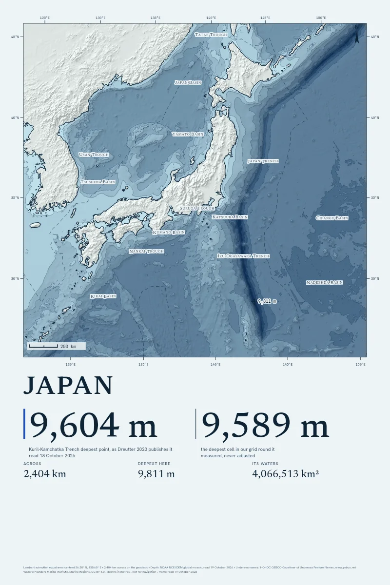
Published by Dreutter, Steffen, Martínez Arbizu & Brandt, 'Will the top five deepest trenches lose one of their members?', Progress in Oceanography (2020), article 102258
Izu-Ogasawara Trench deepest point
Outside tolerance
Published
none
Our grid reads
9,842 m
No settled published figure to set beside ours.
Published by Jamieson & Stewart, Progress in Oceanography 190:102477 (2021), doi:10.1016/j.pocean.2020.102477 (accepted manuscript; GMRT)
Published by Jamieson & Stewart, Progress in Oceanography 190:102477 (2021), doi:10.1016/j.pocean.2020.102477 (accepted manuscript; GMRT)
Before You Order
Where do the depths come from?
NOAA's DEM global mosaic, for every frame. In a spot frame up to 400 km across, GMRT's ship multibeam is laid over it wherever a ship has swept the floor, and ETOPO 2022 stands in if the mosaic doesn't answer. The method page has the detail.
How close are they to the published depths?
We checked twenty named deeps before the first print was sold: 13 land within 3% or 150 m of the depth their surveyors published. Outside the survey tracks the grid is a model, and every sheet prints how much of its frame a ship has swept.
Can I use it on a boat?
No. Every sheet prints "Not for navigation" in its margin, and it means it. Take a current chart from your hydrographic office.
Is the Satellite style a photograph of the sea?
Only the land is: a real pass from Sentinel-2, the USDA's aerial survey or NASA, with its source and date in the margin. The sea is drawn from the depth grid, because no satellite sees the floor past the shallows.
How big can it print?
Up to 40 × 60 inches on art paper, canvas or float-framed canvas, and 40 × 40 square. Find Your Size hangs each tall sheet in a room at true scale, beside a person of known height.
Where do you ship, and what does it cost?
The United States, Canada, the United Kingdom, Australia, Ireland, New Zealand, France, Germany, the Netherlands, Spain and Italy. Shipping is the printer's own charge, at cost, quoted before you pay.


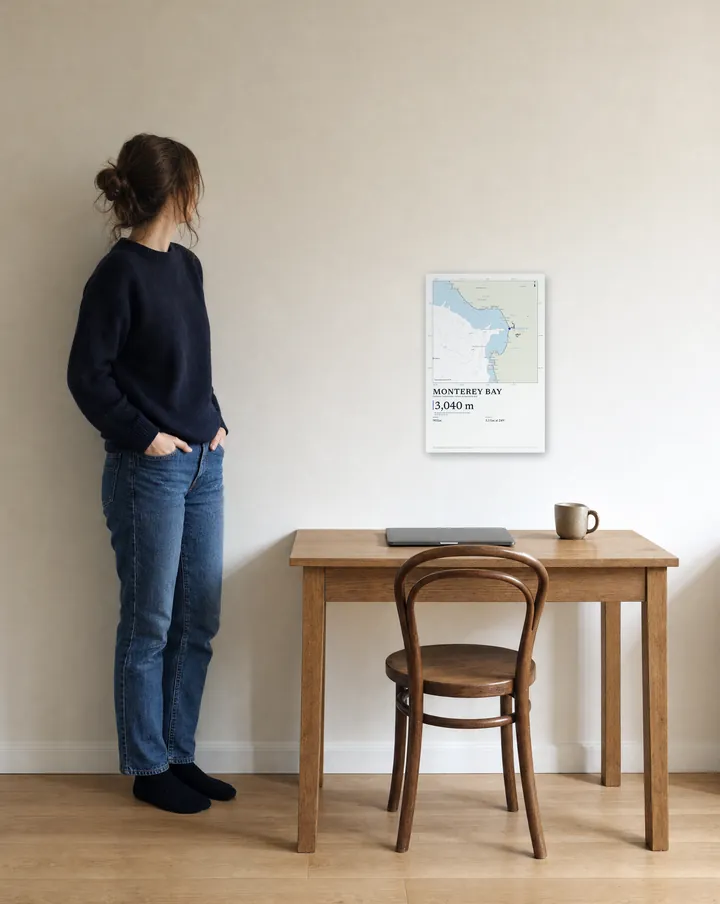 12 × 18 in
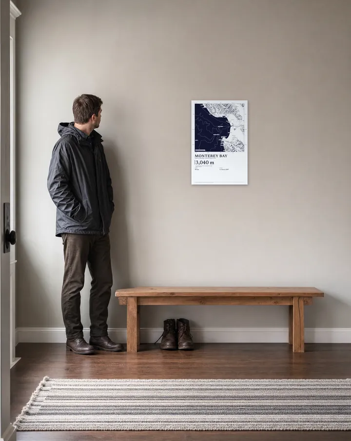 16 × 24 in
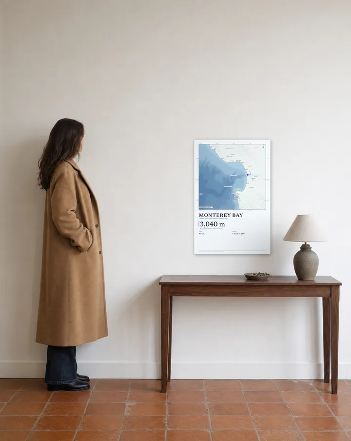 20 × 30 in
 24 × 36 in
 32 × 48 in
 40 × 60 in